
1906 Map of Wilmington
USGS Topo · Published 1906About this map
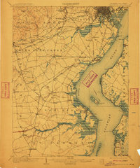
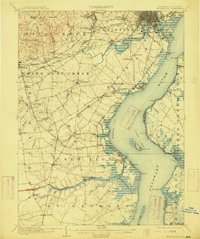
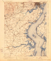
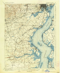
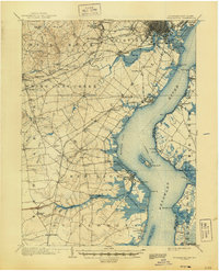
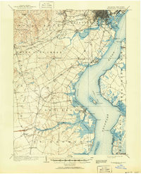
The Christiana River and the Delaware River dominate this early 20th-century landscape, illustrating the critical maritime and industrial corridors of northern Delaware. The bustling hub of Wilmington and the riverside town of New Castle serve as anchors for a dense network of rail lines, including the Baltimore and Ohio RR and the Philadelphia Wilmington and Baltimore RR.
Find a feature on this map
86 named features on this map. Tap any name to fly to it.
Don’t see what you’re looking for? This feature index may not catch every label — zoom into the map to look around manually.
Map Details
Editions of this 1906 Wilmington Map
7 editions found
Other maps of this area

1890 · Salem
USGS Topo · 1:62,500

1890 · Bay Side
USGS Topo · 1:62,500

1894 · Bay Side
USGS Topo · 1:62,500

1894 · Chester
USGS Topo · 1:62,500

1896 · Chester
USGS Topo · 1:62,500

1898 · Salem
USGS Topo · 1:62,500

1898 · Elkton
USGS Topo · 1:62,500

1898 · Chester
USGS Topo · 1:62,500

1899 · Vineland
USGS Topo · 1:125,000

1899 · Dover
USGS Topo · 1:125,000