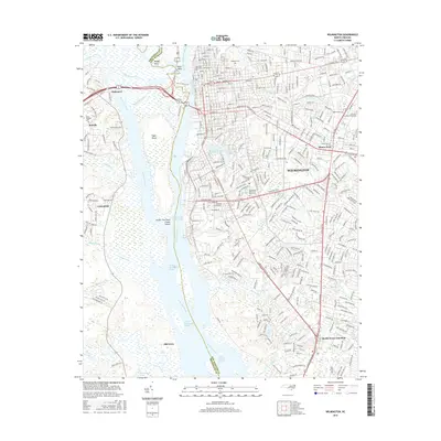
2016 Map of Wilmington
USGS Topo · Published 2016About this map
The Cape Fear River and Northeast Cape Fear River converge at Wilmington, defining the commercial and topographic heart of this coastal region. To the west, the river system splits around Eagle Island, separating the urban center from the growing communities of Leland and Belville. This 2016 survey illustrates the modern layout of the city, from the historic northern reaches near Oakdale Cem to the educational corridor of the Univ of N Carolina-Wilmington in the east. The landscape is characterized by its complex hydrology, where creeks like Barnards Cr and Mott Cr drain into the main channel. Notable landmarks include the Greenfield Lake recreational area and industrial points along the river such as Dream Tree Point Clarks Island and the Fourth East Jetty Range.
Find a feature on this map
52 named features on this map. Tap any name to fly to it.
Don’t see what you’re looking for? This feature index may not catch every label — zoom into the map to look around manually.
Map Details
Editions of this 2016 Wilmington Map
This is the sole edition of this map. No revisions or reprints were ever made.
Other maps of this area

1942 · Wilmington
USGS Topo · 1:62,500

1943 · Funston
USGS Topo · 1:24,000

1943 · Winnabow
USGS Topo · 1:24,000

1944 · Winnabow
USGS Topo · 1:31,680

1947 · Rocky Point
USGS Topo · 1:62,500

1948 · Wilmington
USGS Topo · 1:62,500

1950 · Winnabow
USGS Topo · 1:25,000

1953 · Florence
USGS Topo · 1:250,000

1953 · Beaufort
USGS Topo · 1:250,000

1954 · Florence
USGS Topo · 1:250,000