
1889 Map of Wilmington
USGS Topo · Published 1889About this map
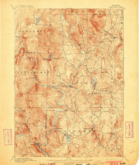
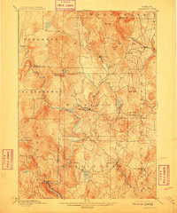
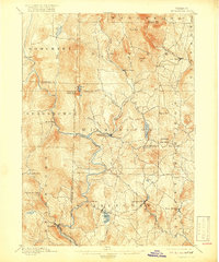
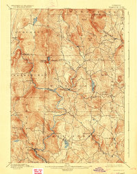
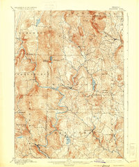
Wilmington serves as the central hub of this late 19th-century Vermont landscape, situated at the confluence of the Deerfield River and its various tributaries. The terrain is defined by the high peaks of Haystack Mountain and Hogback Mountain, which channeled early settlement and transportation into the narrow valley floors. To the south, the Hoosac Tunnel and Wilmington R.R. follows the winding course of the river through Readsboro, providing a critical industrial link for the timber and milling operations that characterized the region's economy.
Find a feature on this map
50 named features on this map. Tap any name to fly to it.
Don’t see what you’re looking for? This feature index may not catch every label — zoom into the map to look around manually.
Map Details
Editions of this 1889 Wilmington Map
7 editions found
Other maps of this area

1886 · Greylock
USGS Topo · 1:62,500

1886 · Hawley
USGS Topo · 1:62,500

1890 · Hawley
USGS Topo · 1:62,500

1890 · Greenfield
USGS Topo · 1:62,500

1891 · Wilmington
USGS Topo · 1:62,500

1891 · Greylock
USGS Topo · 1:62,500

1891 · Brattleboro
USGS Topo · 1:62,500

1893 · Brattleboro
USGS Topo · 1:62,500

1893 · Greylock
USGS Topo · 1:62,500

1894 · Greenfield
USGS Topo · 1:62,500