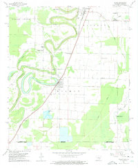
1960 Map of Wilmot
USGS Topo · Published 1975About this map
The Missouri Pacific railroad corridor serves as the primary spine for this 1960 survey of southeast Arkansas, connecting the communities of Parkdale and Wilmot. The landscape is dominated by the winding path of Bayou Bartholomew, which creates a complex pattern of oxbows and sloughs, including the prominent Enterprise Lake. This area of Ashley County demonstrates a deeply established rural social fabric, evidenced by the numerous country churches like Thompson Chapel, Gospel Temple, and Sweet Home Ch. Genealogists may find value in the scattered burial grounds such as Wonner Grove Cem and Smith Cem. In the north, an Indian Mound stands near the bayou, while the presence of a Fish Hatchery and Gaging Station reflects the local management of the region's abundant water resources. The survey also captures the boundary between Ashley County and Morehouse Parish at the Arkansas-Louisiana state line.
Find a feature on this map
34 named features on this map. Tap any name to fly to it.
Don’t see what you’re looking for? This feature index may not catch every label — zoom into the map to look around manually.
Map Details
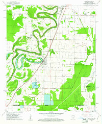
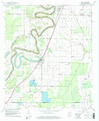
Editions of this 1960 Wilmot Map
3 editions found
Other maps of this area

1935 · Wilmot
USGS Topo · 1:62,500

1935 · Oak Grove
USGS Topo · 1:62,500

1935 · Bonita
USGS Topo · 1:62,500

1936 · Eudora
USGS Topo · 1:62,500

1953 · Greenwood
USGS Topo · 1:250,000

1955 · Jackson
USGS Topo · 1:250,000

1956 · Greenwood
USGS Topo · 1:250,000

1957 · Eudora
USGS Topo · 1:62,500

1958 · Oak Grove
USGS Topo · 1:62,500

1958 · Bonita
USGS Topo · 1:62,500