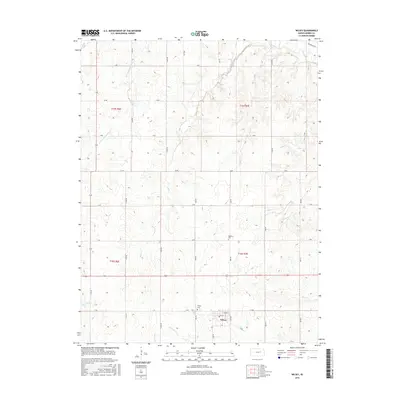
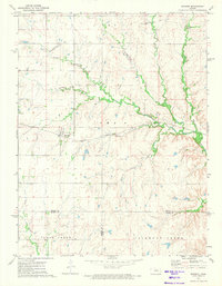
2015 Map of Wilsey
USGS Topo · Published 2015About this map
Wilsey serves as the central hub of this Morris County landscape, where the town grid is defined by streets like Main St and Lyndon St. The surrounding terrain is deeply etched by a network of waterways that feed the larger regional systems, including the Neosho River and its W Fork Neosho River tributary. The drainage pattern is complex, with Haun Cr, Crooked Cr, and Elm Cr carving through the prairie elevations. Local heritage is anchored by two prominent burial grounds: Wilsey Cem located just north of the town center, and Highland Cem situated to the northeast. The map provides a clear look at the rural township structure, showing how the land is partitioned across t15s r6e, t15s r7e, t16s r6e, and t16s r7e.
Find a feature on this map
28 named features on this map. Tap any name to fly to it.
Don’t see what you’re looking for? This feature index may not catch every label — zoom into the map to look around manually.
Map Details
Editions of this 2015 Wilsey Map
This is the sole edition of this map. No revisions or reprints were ever made.
Other maps of this area

1889 · Parkerville
USGS Topo · 1:125,000

1894 · Parkerville
USGS Topo · 1:125,000

1955 · Hutchinson
USGS Topo · 1:250,000

1959 · Hutchinson
USGS Topo · 1:250,000

1964 · Skiddy
USGS Topo · 1:24,000
1971 · Council Grove Lake
USGS Topo · 1:24,000
1971 · Dwight
USGS Topo · 1:24,000
1971 · White City
USGS Topo · 1:24,000

1972 · Wilsey
USGS Topo · 1:24,000
1972 · Burdick
USGS Topo · 1:24,000