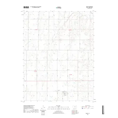
2018 Map of Wilsey
USGS Topo · Published 2018About this map
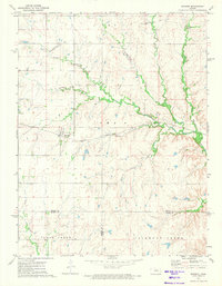
Wilsey sits at the heart of this Morris County landscape, where the local street grid including Main St, North St, and Lyndon St centers the community. This 2018 survey documents a region defined by its intricate drainage systems, particularly where the W Fork Neosho River and the main Neosho River flow through the Flint Hills region. The map reveals the placement of essential local landmarks such as Wilsey Cem and the more northerly Highland Cem, which serve as vital touchstones for genealogical research in the area.
Find a feature on this map
36 named features on this map. Tap any name to fly to it.
Don’t see what you’re looking for? This feature index may not catch every label — zoom into the map to look around manually.
Map Details
Editions of this 2018 Wilsey Map
This is the sole edition of this map. No revisions or reprints were ever made.
Other maps of this area

1889 · Parkerville
USGS Topo · 1:125,000

1894 · Parkerville
USGS Topo · 1:125,000

1955 · Hutchinson
USGS Topo · 1:250,000

1959 · Hutchinson
USGS Topo · 1:250,000

1964 · Skiddy
USGS Topo · 1:24,000
1971 · Council Grove Lake
USGS Topo · 1:24,000
1971 · Dwight
USGS Topo · 1:24,000
1971 · White City
USGS Topo · 1:24,000

1972 · Wilsey
USGS Topo · 1:24,000
1972 · Burdick
USGS Topo · 1:24,000