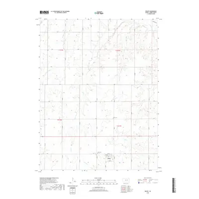
2022 Map of Wilsey
USGS Topo · Published 2022About this map
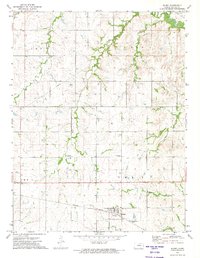
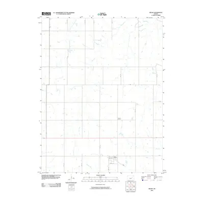
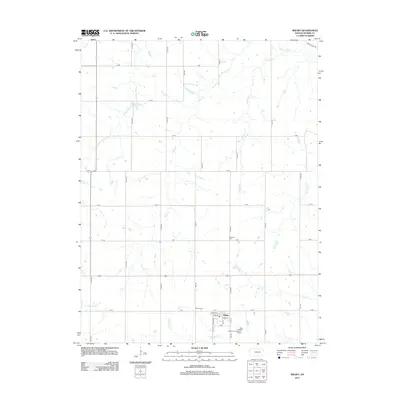
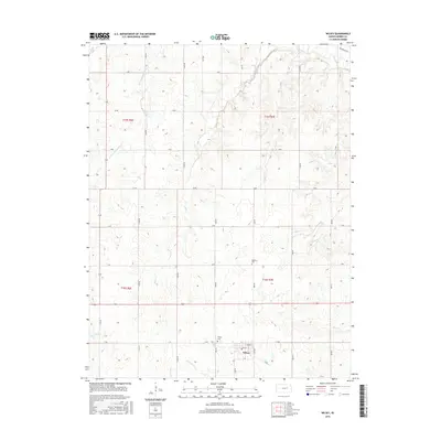
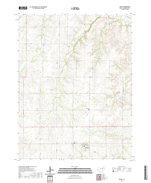
The town of Wilsey sits at the southern edge of this Morris County landscape, where the local street grid including Main St and North St meets the surrounding rural section lines. This area is defined by the complex drainage of the Upper Neosho watershed, featuring the winding paths of the Neosho River and the W Fork Neosho River. The terrain is deeply etched by numerous tributaries such as Crooked Cr and Haun Cr, which dictate the placement of local roads like Parkerville Rd. For those tracing local heritage, the map identifies two significant burial sites: the Wilsey Cem just north of the town center and Highland Cem located further north along T Ave. The distribution of these features reflects the agricultural settlement patterns of the Kansas plains, where small community hubs developed near reliable water sources like Diamond Cr and Elm Cr.
Find a feature on this map
40 named features on this map. Tap any name to fly to it.
Don’t see what you’re looking for? This feature index may not catch every label — zoom into the map to look around manually.
Map Details
Editions of this 2022 Wilsey Map
This is the sole edition of this map. No revisions or reprints were ever made.
Historical Maps of Wilsey Through Time
6 maps found