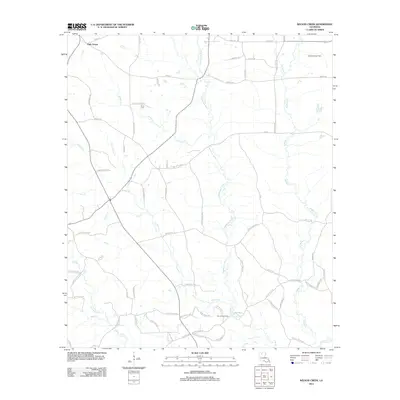
2012 Map of Wilson Creek
USGS Topo · Published 2012About this map
Oak Grove sits at the northern edge of this Louisiana landscape, where the headwaters of the Dugdemona River and several tributary creeks carve through the terrain. The map documents an area defined by its drainage network, with Wilson Cr and Cypress Cr winding through the central parish lands. Local heritage is grounded in sites like the Pruitt Cem, located along Pruitt Cemetery Rd, providing a specific point of interest for genealogical research in this rural corridor.
Find a feature on this map
72 named features on this map. Tap any name to fly to it.
Don’t see what you’re looking for? This feature index may not catch every label — zoom into the map to look around manually.
Map Details
Editions of this 2012 Wilson Creek Map
This is the sole edition of this map. No revisions or reprints were ever made.
Other maps of this area

1947 · Bienville
USGS Topo · 1:62,500

1949 · Bienville
USGS Topo · 1:62,500

1950 · Ruston
USGS Topo · 1:62,500

1950 · Arcadia
USGS Topo · 1:62,500

1951 · Arcadia
USGS Topo · 1:62,500

1951 · Ruston
USGS Topo · 1:62,500

1953 · Hodge
USGS Topo · 1:62,500

1955 · Shreveport
USGS Topo · 1:250,000

1956 · Shreveport
USGS Topo · 1:250,000

1984 · Shreveport
USGS Topo · 1:250,000