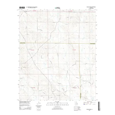
2015 Map of Wilson Creek
USGS Topo · Published 2015About this map
Oak Grove sits at the northern edge of this North Louisiana landscape, where the borders of Lincoln, Bienville, and Jackson Parishes converge. The terrain is defined by a dense network of waterways, most notably the meandering Dugdemona River and Wilson Creek, which drain the timberlands of the Piney Hills. This 2015 survey reveals a rural infrastructure of winding parish roads and timber access routes like Parish Road 1393 and CCC Rd, reflecting the region's long-standing connection to forestry and small-scale agriculture. Genealogists will find the Pruitt Cem located off Pruitt Cemetary Rd in the northwestern quadrant. The map also documents numerous smaller tributaries such as Choctaw Cr, Madden Cr, and Sugar Cr, illustrating the complex drainage patterns that have historically shaped local land use and property boundaries in this intersection of the three parishes.
Find a feature on this map
77 named features on this map. Tap any name to fly to it.
Don’t see what you’re looking for? This feature index may not catch every label — zoom into the map to look around manually.
Map Details
Editions of this 2015 Wilson Creek Map
This is the sole edition of this map. No revisions or reprints were ever made.
Other maps of this area

1947 · Bienville
USGS Topo · 1:62,500

1949 · Bienville
USGS Topo · 1:62,500

1950 · Ruston
USGS Topo · 1:62,500

1950 · Arcadia
USGS Topo · 1:62,500

1951 · Arcadia
USGS Topo · 1:62,500

1951 · Ruston
USGS Topo · 1:62,500

1953 · Hodge
USGS Topo · 1:62,500

1955 · Shreveport
USGS Topo · 1:250,000

1956 · Shreveport
USGS Topo · 1:250,000

1984 · Shreveport
USGS Topo · 1:250,000