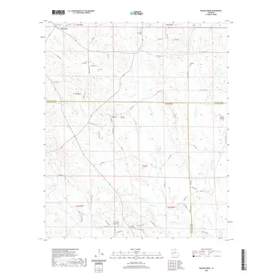
2020 Map of Wilson Creek
USGS Topo · Published 2020About this map
Oak Grove sits at the northern edge of this landscape, a region defined by the convergence of Lincoln, Bienville, and Jackson Parishes. The terrain is deeply carved by the Dugdemona River and its various tributaries, including Wilson Cr, Madden Cr, and Cypress Cr. This map is particularly valuable for genealogical research, documenting numerous small family and community burial grounds tucked away at the ends of parish roads. Notable among these are the Pennington Family Cem, Sherrard-Spencer Family Cem, and Pruitt Cem. The presence of several spiritual centers, such as Mount Calm Church and Union Church, along with the B & S Hunting Club Rd, illustrates the traditional rural lifestyle and land use patterns that persisted in this corner of North Louisiana into the early 21st century.
Find a feature on this map
72 named features on this map. Tap any name to fly to it.
Don’t see what you’re looking for? This feature index may not catch every label — zoom into the map to look around manually.
Map Details
Editions of this 2020 Wilson Creek Map
This is the sole edition of this map. No revisions or reprints were ever made.
Other maps of this area

1947 · Bienville
USGS Topo · 1:62,500

1949 · Bienville
USGS Topo · 1:62,500

1950 · Ruston
USGS Topo · 1:62,500

1950 · Arcadia
USGS Topo · 1:62,500

1951 · Arcadia
USGS Topo · 1:62,500

1951 · Ruston
USGS Topo · 1:62,500

1953 · Hodge
USGS Topo · 1:62,500

1955 · Shreveport
USGS Topo · 1:250,000

1956 · Shreveport
USGS Topo · 1:250,000

1984 · Shreveport
USGS Topo · 1:250,000