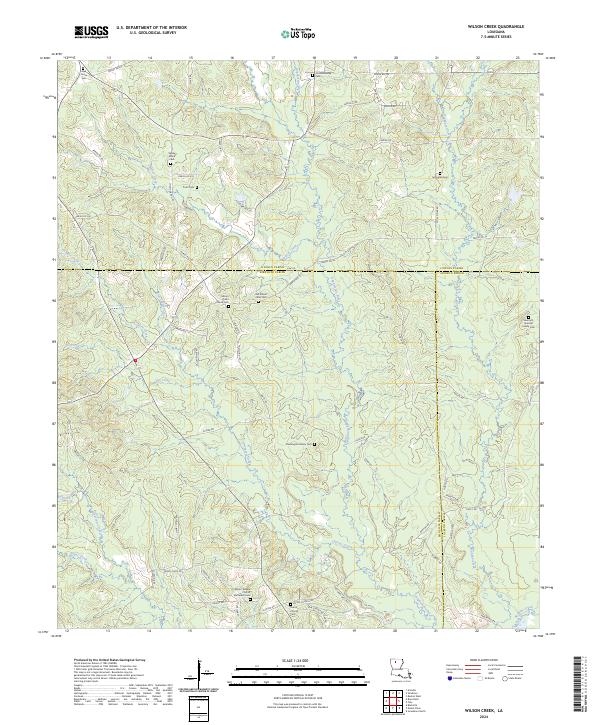
2024 Map of Wilson Creek
USGS Topo · Published 2024About this map
Wilson Creek and Cypress Creek carve through the forested lowlands of North Louisiana, where the borders of Bienville, Lincoln, and Jackson Parishes converge. This landscape is defined by its rural density, marked by numerous small family and community burial grounds that speak to generations of local settlement. Locations such as Old Mount Calm Cem and the Sherrard-Spencer Family Cem are situated away from primary thoroughfares, reached only by a network of parish roads. The presence of Mount Calm Church and Union Church indicates long-standing spiritual hubs for the surrounding homesteads. The meandering Dugdemona River dominates the southeastern quadrant, its floodplain creating a distinct break in the road network established by Parish Rd 131 and Culver Rd.
Find a feature on this map
74 named features on this map. Tap any name to fly to it.
Don’t see what you’re looking for? This feature index may not catch every label — zoom into the map to look around manually.
Map Details
Editions of this 2024 Wilson Creek Map
This is the sole edition of this map. No revisions or reprints were ever made.
Other maps of this area

1947 · Bienville
USGS Topo · 1:62,500

1949 · Bienville
USGS Topo · 1:62,500

1950 · Ruston
USGS Topo · 1:62,500

1950 · Arcadia
USGS Topo · 1:62,500

1951 · Arcadia
USGS Topo · 1:62,500

1951 · Ruston
USGS Topo · 1:62,500

1953 · Hodge
USGS Topo · 1:62,500

1955 · Shreveport
USGS Topo · 1:250,000

1956 · Shreveport
USGS Topo · 1:250,000

1984 · Shreveport
USGS Topo · 1:250,000