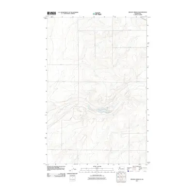
2011 Map of Wilson Creek SE
USGS Topo · Published 2011About this map
Black Rock Lake sits as a central water feature in this portion of the Washington landscape, surrounded by a complex system of agricultural and access roads. The geography is defined by a rigorous grid of section lines and transport routes, including Road 19 NE and Road 12 NE, which suggest a highly organized rural infrastructure in Grant County during the early 21st century. The topographic data reveals the subtle drainage patterns feeding into the lake, while the alphanumeric road naming convention—utilizing labels like Road R NE and Road W NE—reflects the systematic land division characteristic of the region's development. This map provides a clear record of the local transportation network and natural hydrology as documented by the U.S. Geological Survey in 2011.
Find a feature on this map
16 named features on this map. Tap any name to fly to it.
Don’t see what you’re looking for? This feature index may not catch every label — zoom into the map to look around manually.
Map Details
Editions of this 2011 Wilson Creek SE Map
This is the sole edition of this map. No revisions or reprints were ever made.
Other maps of this area
1923 · Wheeler
USGS Topo · 1:62,500
1925 · Wheeler
USGS Topo · 1:62,500
1925 · Schrag
USGS Topo · 1:62,500
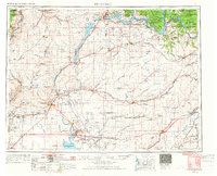
1953 · Ritzville
USGS Topo · 1:250,000
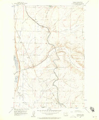
1956 · Wheeler
USGS Topo · 1:24,000
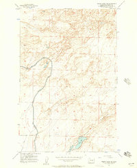
1956 · Wilson Creek SW
USGS Topo · 1:24,000
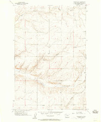
1956 · Wheeler NE
USGS Topo · 1:24,000
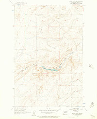
1956 · Wilson Creek SE
USGS Topo · 1:24,000
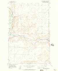
1956 · Wilson Creek NW
USGS Topo · 1:24,000
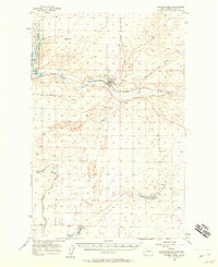
1956 · Wilson Creek
USGS Topo · 1:62,500