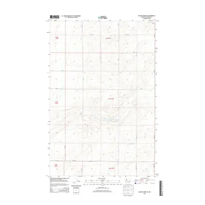
2014 Map of Wilson Creek SE
USGS Topo · Published 2014About this map
Black Rock Lake rests in the center of this landscape in the early 21st century, surrounded by the high plateaus of Grant County. The area is defined by the rigid grid of the Public Land Survey System, as shown by township markings such as t21n r30e and t22n r30e. This survey captures the rural character of the region, where the vast open spaces are partitioned by a network of gravel and dirt routes including Road 19 NE and 16 NE Rd. The contour lines illustrate the complex coulees and elevation changes that characterize this part of Washington, revealing how the geography dictated the placement of these section-line roads. This map serves as a detailed record of land use and topographic relief in a sparsely populated agricultural and ranching environment.
Find a feature on this map
14 named features on this map. Tap any name to fly to it.
Don’t see what you’re looking for? This feature index may not catch every label — zoom into the map to look around manually.
Map Details
Editions of this 2014 Wilson Creek SE Map
This is the sole edition of this map. No revisions or reprints were ever made.
Other maps of this area

1923 · Wheeler
USGS Topo · 1:62,500

1925 · Wheeler
USGS Topo · 1:62,500

1925 · Schrag
USGS Topo · 1:62,500

1953 · Ritzville
USGS Topo · 1:250,000

1956 · Wheeler
USGS Topo · 1:24,000

1956 · Wilson Creek SW
USGS Topo · 1:24,000

1956 · Wheeler NE
USGS Topo · 1:24,000

1956 · Wilson Creek SE
USGS Topo · 1:24,000

1956 · Wilson Creek NW
USGS Topo · 1:24,000

1956 · Wilson Creek
USGS Topo · 1:62,500