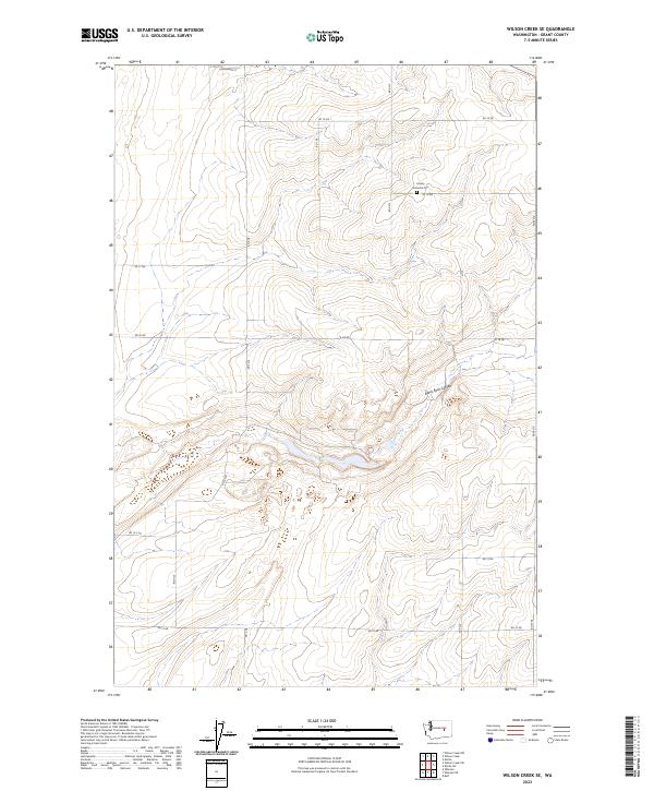
2023 Map of Wilson Creek SE
USGS Topo · Published 2023About this map
Black Rock Coulee cuts through the high desert plateau of eastern Grant County, defining the drainage patterns and topography of this expansive rural landscape. This modern survey illustrates a high degree of land management and systematic organization, dominated by the Public Land Survey System (PLSS) grid. The terrain is marked by a network of alphanumeric section roads, such as Rd 19 Ne and Rd 12 Ne, which facilitate access to the agricultural parcels that characterize the region. The presence of the Marlin Hutterite Cem near Rd 18 Ne provides a significant genealogical anchor, reflecting the unique communal settlement patterns and religious history of the local area. The lack of concentrated urban development highlights the area's continued reliance on large-scale ranching or dryland farming, with the complex relief of the coulee serving as the primary natural landmark.
Find a feature on this map
23 named features on this map. Tap any name to fly to it.
Don’t see what you’re looking for? This feature index may not catch every label — zoom into the map to look around manually.
Map Details
Editions of this 2023 Wilson Creek SE Map
This is the sole edition of this map. No revisions or reprints were ever made.
Other maps of this area

1923 · Wheeler
USGS Topo · 1:62,500

1925 · Wheeler
USGS Topo · 1:62,500

1925 · Schrag
USGS Topo · 1:62,500

1953 · Ritzville
USGS Topo · 1:250,000

1956 · Wheeler
USGS Topo · 1:24,000

1956 · Wilson Creek SW
USGS Topo · 1:24,000

1956 · Wheeler NE
USGS Topo · 1:24,000

1956 · Wilson Creek SE
USGS Topo · 1:24,000

1956 · Wilson Creek NW
USGS Topo · 1:24,000

1956 · Wilson Creek
USGS Topo · 1:62,500