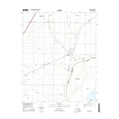
2014 Map of Wilson
USGS Topo · Published 2014About this map
The Mississippi River forms the eastern edge of this landscape, defining the state boundary between Arkansas and Tennessee and the county line between Mississippi and Tipton counties. The topography is dominated by the river's influence, featuring several distinct riverine landforms such as Island Number 35, the Towhead of Island Number Thirty-five, and the Bend of Island Number Thirty-five. These alluvial formations sit alongside engineering efforts like the Golden Lake Revetment, which protects the shoreline near the community of Golden Lake.
Find a feature on this map
64 named features on this map. Tap any name to fly to it.
Don’t see what you’re looking for? This feature index may not catch every label — zoom into the map to look around manually.
Map Details
Editions of this 2014 Wilson Map
This is the sole edition of this map. No revisions or reprints were ever made.
Other maps of this area

1931 · Jericho
USGS Topo · 1:62,500

1939 · Jericho
USGS Topo · 1:62,500

1939 · Evadale
USGS Topo · 1:62,500

1942 · Millington
USGS Topo · 1:62,500

1952 · Jericho
USGS Topo · 1:62,500

1953 · Memphis
USGS Topo · 1:250,000

1956 · Evadale
USGS Topo · 1:62,500

1956 · Memphis
USGS Topo · 1:250,000

1956 · Blytheville
USGS Topo · 1:250,000

1959 · Blytheville
USGS Topo · 1:250,000