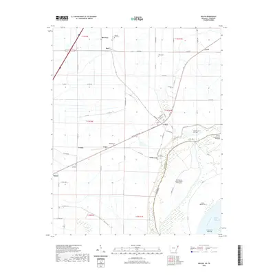
2020 Map of Wilson
USGS Topo · Published 2020About this map
The town of Wilson anchors this survey of Mississippi County, Arkansas, showing a landscape defined by the shifting course of the Mississippi River. Located in the heart of the Delta, the area features numerous small settlements and family-named cemeteries including Pleasant Grove Cem, Pittman Cem, and Macedonia Cem. The map illustrates the region's complex relationship with the river through features like the Golden Lake Crevasse and the island formations of Island Number 35 and the Towhead of Island Number Thirty-five. To the west, the settlements of Evadale, Delpro, and Bassett line the transportation corridors, while Marie and Spur Four sit further north. The intricate web of county roads, such as Cortez Kennedy Ave and S Mississippi 407 Rd, reveals the structured agricultural grid and rural community layout typical of this riverine environment.
Find a feature on this map
70 named features on this map. Tap any name to fly to it.
Don’t see what you’re looking for? This feature index may not catch every label — zoom into the map to look around manually.
Map Details
Editions of this 2020 Wilson Map
This is the sole edition of this map. No revisions or reprints were ever made.
Other maps of this area

1931 · Jericho
USGS Topo · 1:62,500

1939 · Jericho
USGS Topo · 1:62,500

1939 · Evadale
USGS Topo · 1:62,500

1942 · Millington
USGS Topo · 1:62,500

1952 · Jericho
USGS Topo · 1:62,500

1953 · Memphis
USGS Topo · 1:250,000

1956 · Evadale
USGS Topo · 1:62,500

1956 · Memphis
USGS Topo · 1:250,000

1956 · Blytheville
USGS Topo · 1:250,000

1959 · Blytheville
USGS Topo · 1:250,000