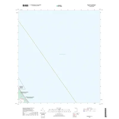
2018 Map of Wilson OE E
USGS Topo · Published 2018About this map
Canaveral National Seashore and the Merritt Island National Wildlife Refuge dominate the terrestrial portion of this coastal survey, where the barrier island environment meets the vast expanse of the Atlantic Ocean. The landscape is defined by the intersection of protected natural habitats and high-technology infrastructure, most notably the Kennedy Space Center Communications facility located on the island interior. Narrow waterways like Bald Pate Creek thread through the marshy terrain, illustrating the delicate hydrology of the Florida coast. This map documents a unique geographical pocket where federal conservation land and aerospace operations coexist along the shoreline of Brevard County.
Find a feature on this map
6 named features on this map. Tap any name to fly to it.
Don’t see what you’re looking for? This feature index may not catch every label — zoom into the map to look around manually.
Map Details
Editions of this 2018 Wilson OE E Map
This is the sole edition of this map. No revisions or reprints were ever made.
Other maps of this area

1949 · Pardon Island
USGS Topo · 1:24,000

1949 · Orsino
USGS Topo · 1:24,000

1949 · False Cape
USGS Topo · 1:24,000

1949 · Wilson
USGS Topo · 1:24,000

1951 · False Cape
USGS Topo · 1:24,000

1951 · Orsino
USGS Topo · 1:24,000

1952 · Wilson
USGS Topo · 1:24,000
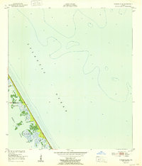
1952 · Pardon Island
USGS Topo · 1:24,000

1955 · Orlando
USGS Topo · 1:250,000

1957 · Orlando
USGS Topo · 1:250,000