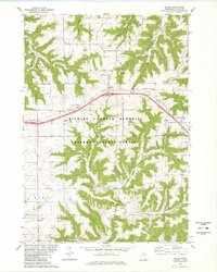
1980 Map of Wilson
USGS Topo · Published 1980About this map
Richard J Dorer Memorial Hardwood State Forest dominates the southern half of this landscape, where steep ridges and deep valleys like Money Creek define the geography of Winona County. The settlement of Wilson sits at a central crossroads, serving as a hub for local families gathered around the Immaculate Conception Ch and the Trinity Ch Cem. The transition from the high agricultural plateaus to the carved drainages of West Burns Valley and Stockton Valley is marked by scattered homesteads and community landmarks, including the Townhall and several small quarries.
Find a feature on this map
36 named features on this map. Tap any name to fly to it.
Don’t see what you’re looking for? This feature index may not catch every label — zoom into the map to look around manually.
Map Details
Editions of this 1980 Wilson Map
2 editions found
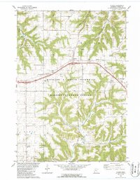
Other maps of this area

1929 · Fountain City
USGS Topo · 1:62,500

1932 · Cochrane
USGS Topo · 1:62,500

1934 · Winona
USGS Topo · 1:62,500

1934 · Cochrane
USGS Topo · 1:62,500

1937 · Winona
USGS Topo · 1:62,500

1937 · Cochrane
USGS Topo · 1:62,500

1953 · Eau Claire
USGS Topo · 1:250,000

1954 · Lewiston
USGS Topo · 1:62,500

1958 · Eau Claire
USGS Topo · 1:250,000

1958 · Houston
USGS Topo · 1:62,500