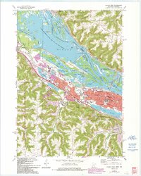
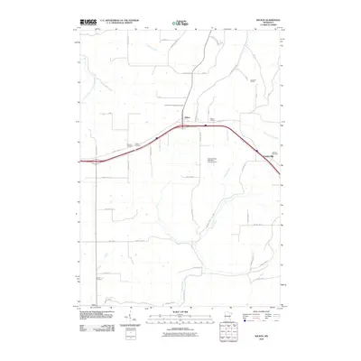
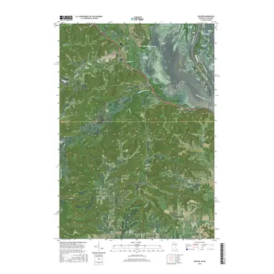
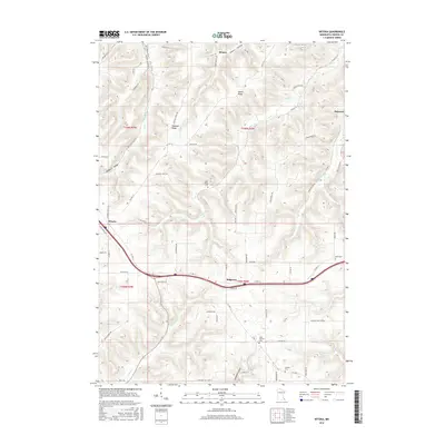
1980 Map of Wilson
USGS Topo · Published 1988About this map
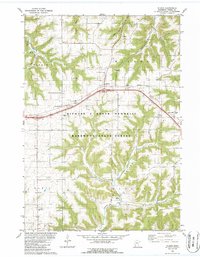
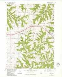
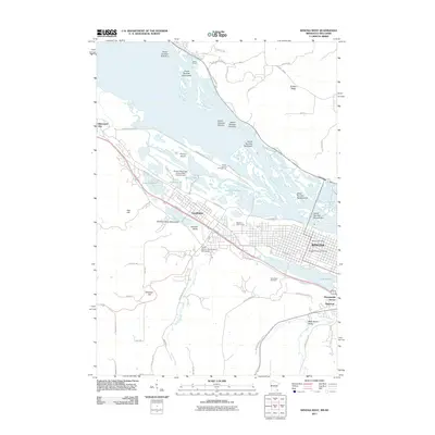
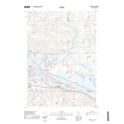
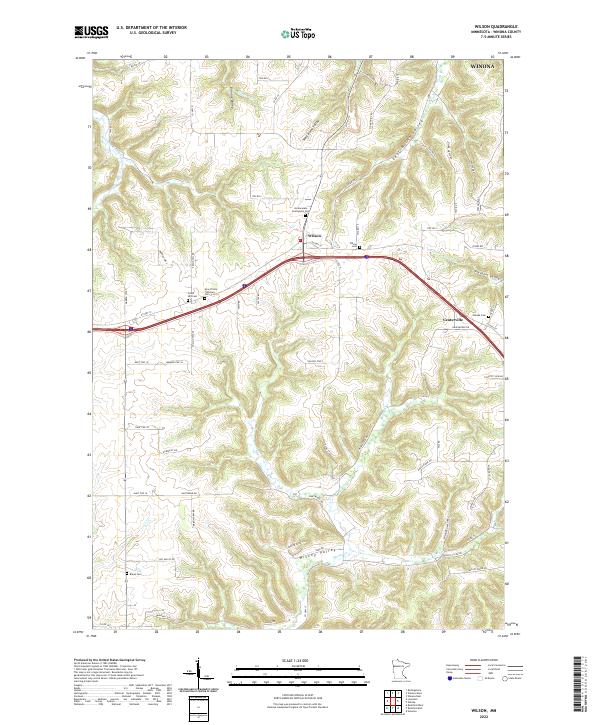
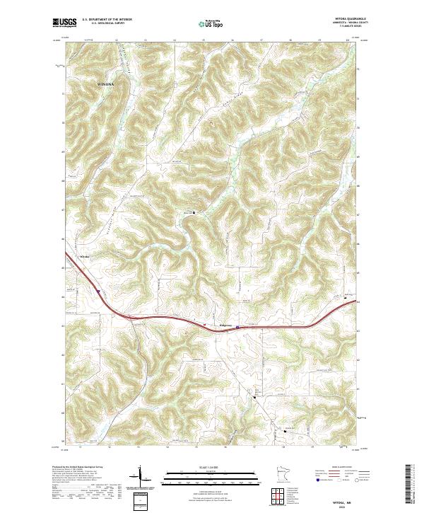
Deep valleys and timbered ridges characterize this section of Winona County, dominated by the Richard J Dorer Memorial Hardwood State Forest. The settlement of Wilson sits at a high-elevation plateau, serving as a hub for the surrounding townships of Warren, Wilson, and Hart. The landscape is etched by drainage systems including West Burns Valley, East Burns Valley, and the headwaters of Money Creek, which have dictated the placement of early roads and farmsteads. Local genealogy is well-represented through numerous rural burial grounds such as Frank Hill Cem and Brand Cem, alongside several parish landmarks like Immaculate Conception Ch and St Johns Ch. The map also captures specialized land uses, from the recreational Camp We-No-Nah to active Quarries that utilize the area's limestone deposits. The alignment of Interstate 90 cuts across the northern half of the sheet, illustrating how modern transportation corridors adapted to the complex driftless area topography.
Find a feature on this map
30 named features on this map. Tap any name to fly to it.
Don’t see what you’re looking for? This feature index may not catch every label — zoom into the map to look around manually.
Map Details
Editions of this 1980 Wilson Map
2 editions found
Historical Maps of Winona Through Time
36 maps found
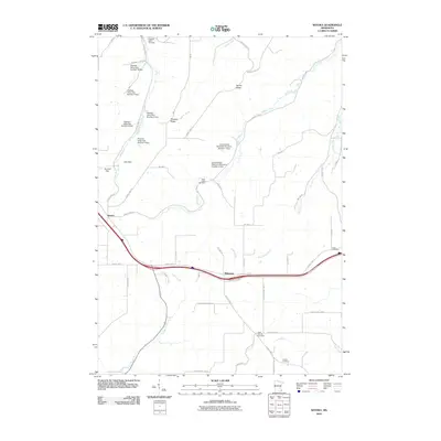
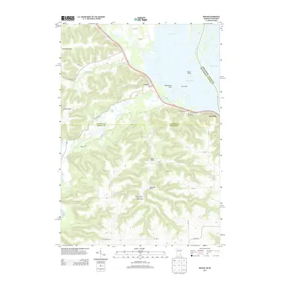
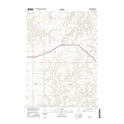
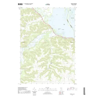
1972 Weaver
Winona County, MN
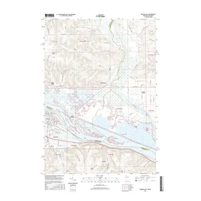
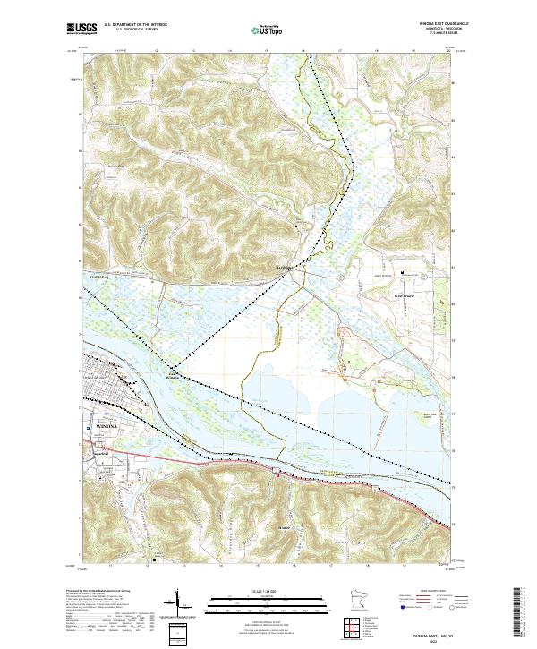
1972 Winona East
Winona County, MN
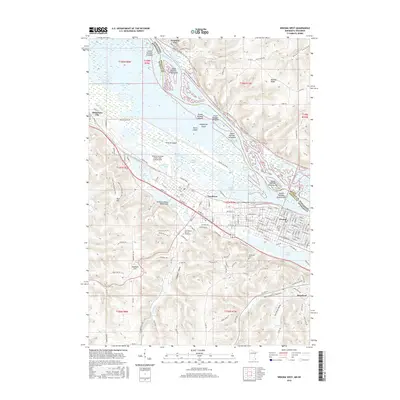
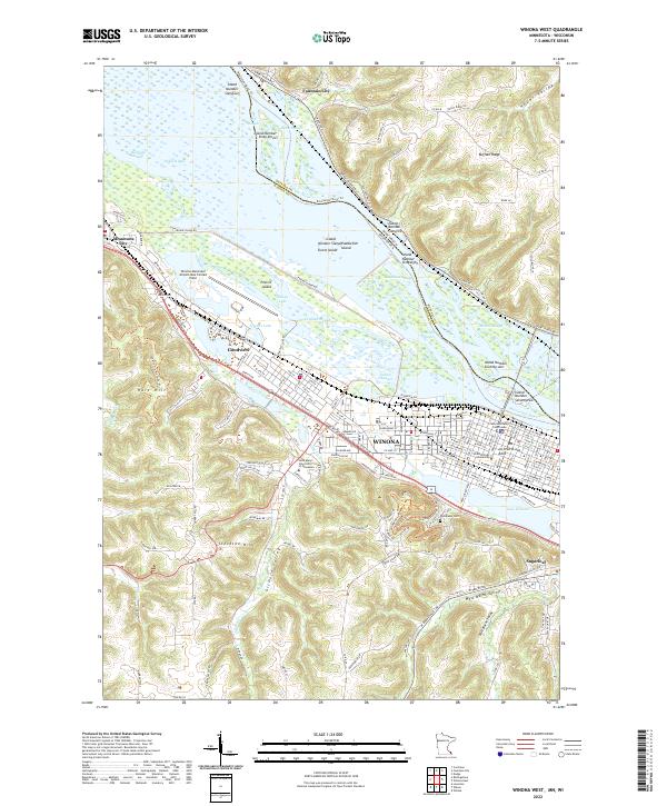
1972 Winona West
Winona County, MN
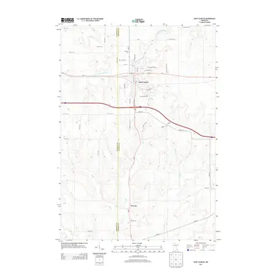
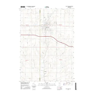
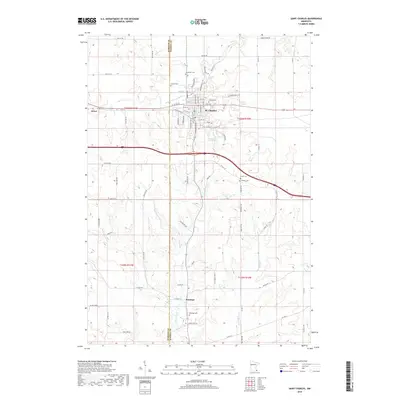
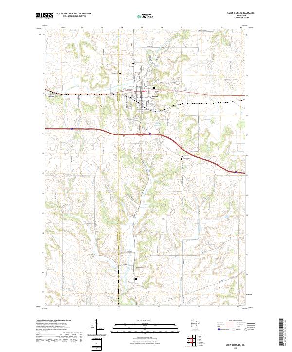
1974 St Charles
Winona County, MN
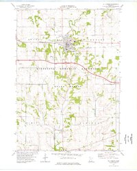
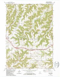
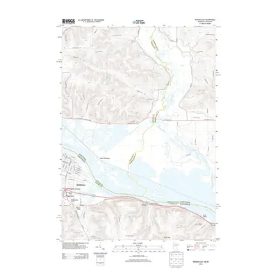
1980 Wilson
Winona County, MN
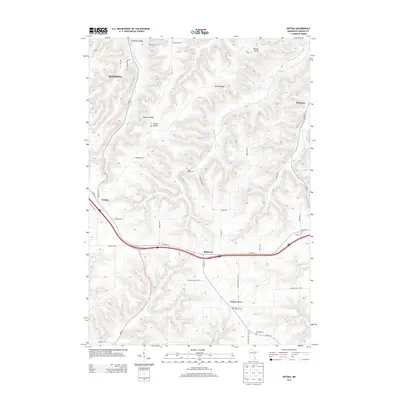
1980 Witoka
Winona County, MN
2010 Saint Charles
Winona County, MN
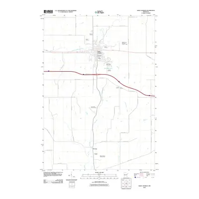
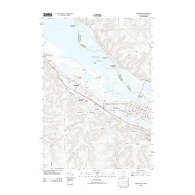
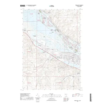
2010 Wilson
Winona County, MN
2010 Witoka
Winona County, MN
2011 Weaver
Winona County, MN
2011 Winona East
Winona County, MN
2011 Winona West
Winona County, MN
2013 Saint Charles
Winona County, MN
2013 Weaver
Winona County, MN
2013 Wilson
Winona County, MN
2013 Winona East
Winona County, MN
2013 Winona West
Winona County, MN
2013 Witoka
Winona County, MN
2016 Saint Charles
Winona County, MN
2016 Weaver
Winona County, MN
2016 Wilson
Winona County, MN
2016 Winona East
Winona County, MN
2016 Winona West
Winona County, MN
2016 Witoka
Winona County, MN
2019 Saint Charles
Winona County, MN
2019 Weaver
Winona County, MN
2019 Wilson
Winona County, MN
2019 Winona East
Winona County, MN
2019 Winona West
Winona County, MN
2019 Witoka
Winona County, MN
2022 Saint Charles
Winona County, MN
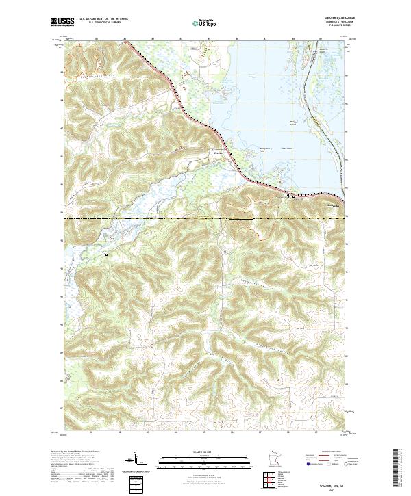
2022 Weaver
Winona County, MN
2022 Wilson
Winona County, MN
2022 Winona East
Winona County, MN
2022 Winona West
Winona County, MN
2022 Witoka
Winona County, MN