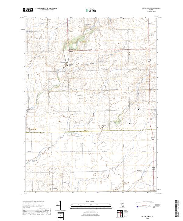
2024 Map of Wilton Center
USGS Topo · Published 2024About this map
Wilton Center sits at the heart of this landscape where the undulating terrain of southern Will County meets the flat expanses of northern Kankakee County. This modern survey illustrates a rural region defined by its waterway network, including the meandering paths of Forked Creek and the South Branch Forked Creek. Smaller settlements like Andres in the northeast and Deselm to the southwest anchor the agricultural grid, which is largely unchanged in its fundamental layout despite modern infrastructure.
Find a feature on this map
40 named features on this map. Tap any name to fly to it.
Don’t see what you’re looking for? This feature index may not catch every label — zoom into the map to look around manually.
Map Details
Editions of this 2024 Wilton Center Map
This is the sole edition of this map. No revisions or reprints were ever made.
Other maps of this area

1892 · Wilmington
USGS Topo · 1:62,500

1918 · Wilmington
USGS Topo · 1:62,500

1922 · Kankakee
USGS Topo · 1:62,500

1923 · Herscher
USGS Topo · 1:62,500

1924 · Kankakee
USGS Topo · 1:62,500

1925 · Herscher
USGS Topo · 1:62,500

1929 · Brisbane
USGS Topo · 1:24,000

1930 · Frankfort
USGS Topo · 1:24,000

1949 · Peotone
USGS Topo · 1:62,500

1953 · Peotone
USGS Topo · 1:24,000