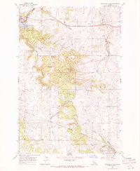
1967 Map of Winchester East
USGS Topo · Published 1971About this map
Winchester and the surrounding high-plateau country of the Nez Perce Indian Reservation Boundary are meticulously documented in this late-1960s survey. The landscape is defined by the deep drainage of Big Canyon Creek and Lapwai Creek, with Mason Butte standing as a prominent central landmark. The settlement at Morrow in the southeast corner provides a valuable reference for genealogists, featuring the Morrow Cem and a nearby prospect.
Find a feature on this map
23 named features on this map. Tap any name to fly to it.
Don’t see what you’re looking for? This feature index may not catch every label — zoom into the map to look around manually.
Map Details
Editions of this 1967 Winchester East Map
2 editions found
Other maps of this area

1924 · Kamiah
USGS Topo · 1:125,000

1955 · Pullman
USGS Topo · 1:250,000

1958 · Pullman
USGS Topo · 1:250,000

1958 · Culdesac
USGS Topo · 1:62,500

1967 · Fletcher
USGS Topo · 1:24,000

1967 · Craigmont
USGS Topo · 1:24,000

1967 · Hoover Point
USGS Topo · 1:24,000

1967 · Westlake
USGS Topo · 1:24,000
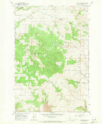
1967 · Keuterville
USGS Topo · 1:24,000
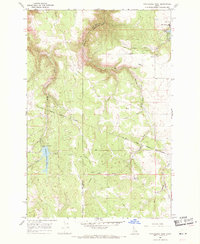
1968 · Winchester West
USGS Topo · 1:24,000