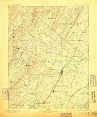
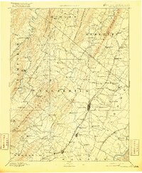
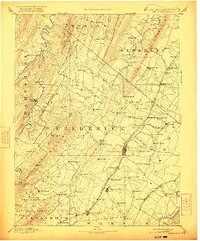
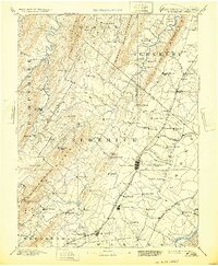
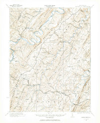
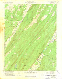
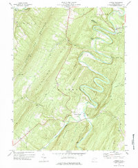
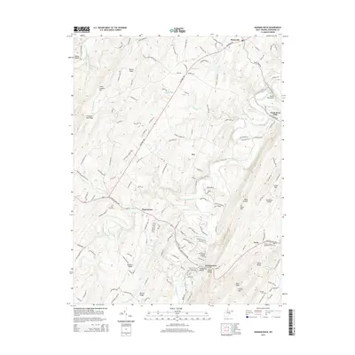
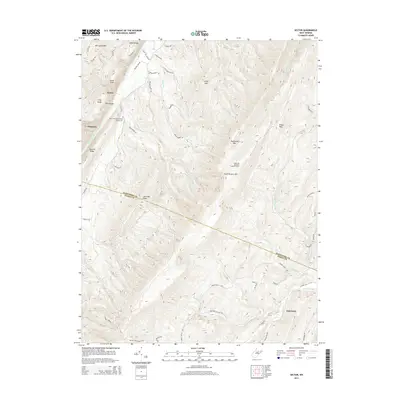
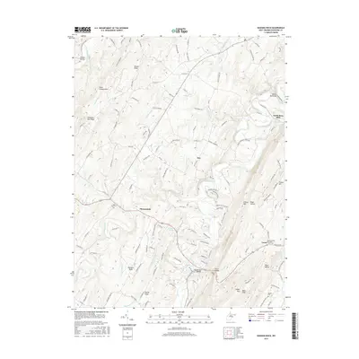
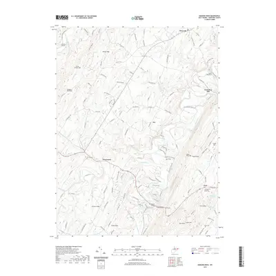
1894 Map of Winchester
USGS Topo · Published 1905About this map
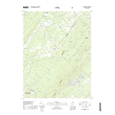
Winchester serves as the focal point for this late 19th-century regional landscape, where the iron rails of the Baltimore and Ohio Railroad Valley Branch and the Cumberland Valley Railroad converge. The mapping illustrates a complex network of milling and rural commerce, as evidenced by landmarks such as Burnt Factory, Parkins Mill, and Unger Store. The terrain is defined by the sharp parallel ridges of Great North Mountain and the Cacapon Mts, which dictate the winding paths of the Shenandoah River and Opequon Creek.
Find a feature on this map
123 named features on this map. Tap any name to fly to it.
Don’t see what you’re looking for? This feature index may not catch every label — zoom into the map to look around manually.
Map Details
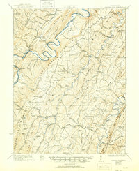
Editions of this 1894 Winchester Map
6 editions found


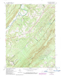
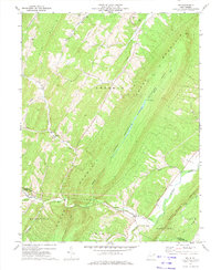
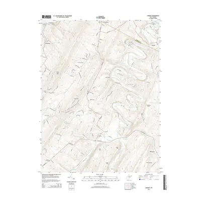
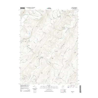
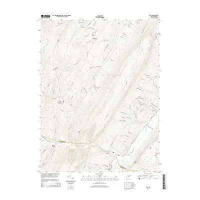
Historical Maps of Winchester Through Time
51 maps found
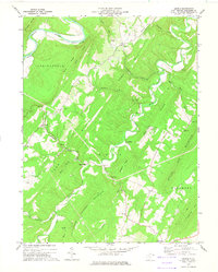
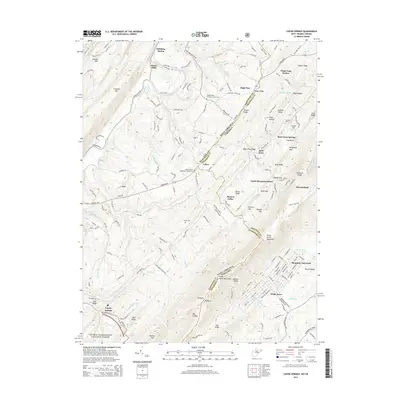
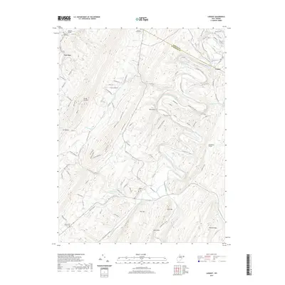
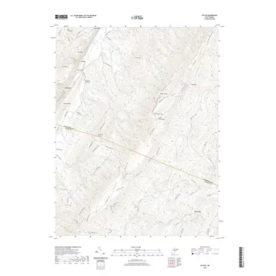
1894 Winchester
Hampshire County, WV
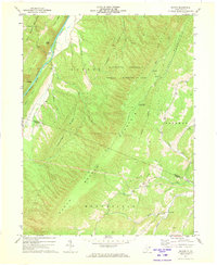
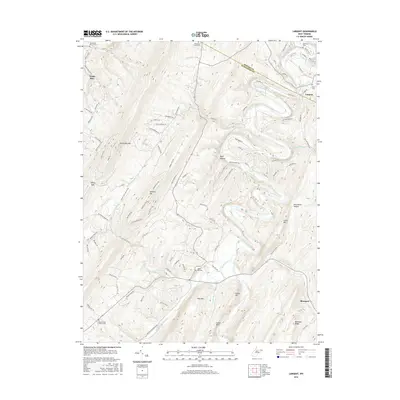
1921 Hanging Rock
Hampshire County, WV
1923 Hanging Rock
Hampshire County, WV
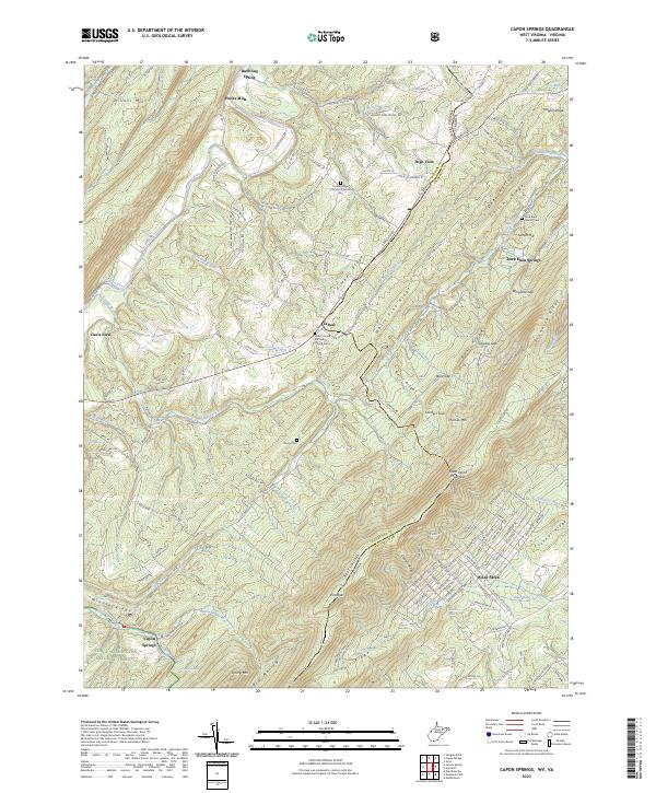
1965 Capon Springs
Hampshire County, WV
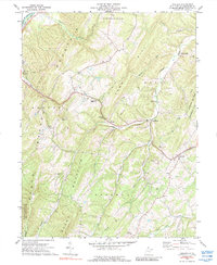
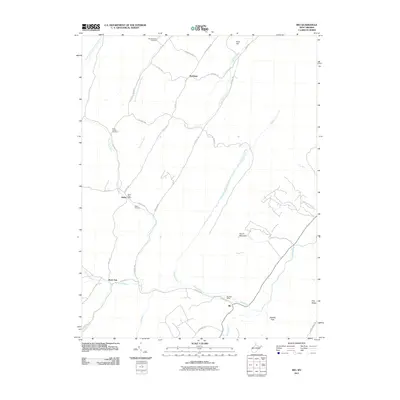
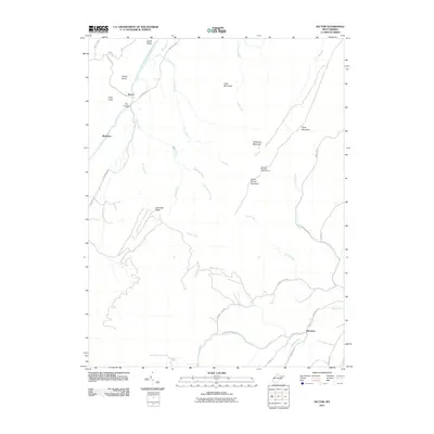
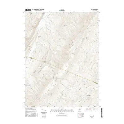
1970 Rio
Hampshire County, WV
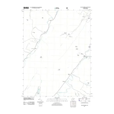
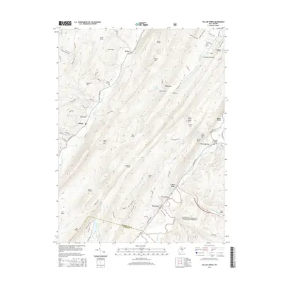
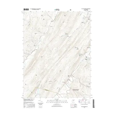
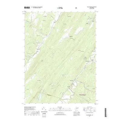
1970 Yellow Spring
Hampshire County, WV
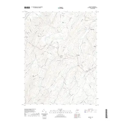
1971 Sector
Hampshire County, WV
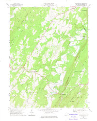
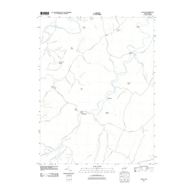
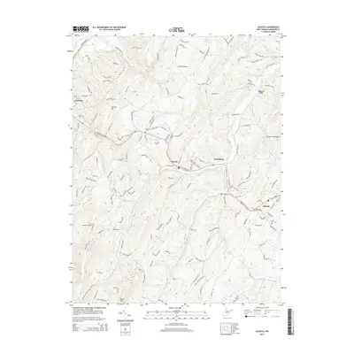
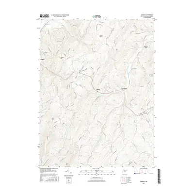
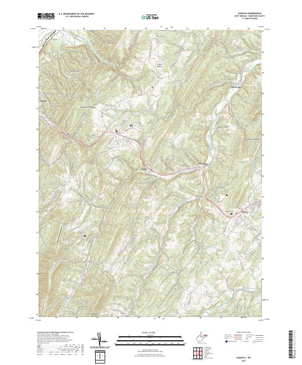
1973 Augusta
Hampshire County, WV
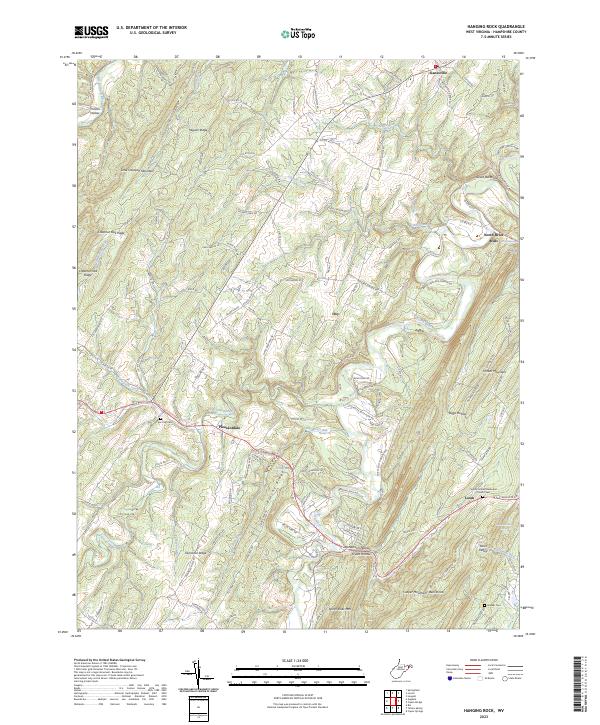
1973 Hanging Rock
Hampshire County, WV
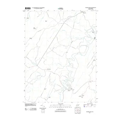
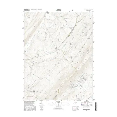
1973 Largent
Hampshire County, WV
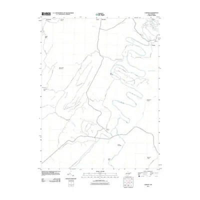
1973 Levels
Hampshire County, WV
2011 Augusta
Hampshire County, WV
2011 Capon Springs
Hampshire County, WV
2011 Hanging Rock
Hampshire County, WV
2011 Largent
Hampshire County, WV
2011 Levels
Hampshire County, WV
2011 Rio
Hampshire County, WV
2011 Sector
Hampshire County, WV
2011 Yellow Spring
Hampshire County, WV
2014 Augusta
Hampshire County, WV
2014 Capon Springs
Hampshire County, WV
2014 Hanging Rock
Hampshire County, WV
2014 Largent
Hampshire County, WV
2014 Levels
Hampshire County, WV
2014 Rio
Hampshire County, WV
2014 Sector
Hampshire County, WV
2014 Yellow Spring
Hampshire County, WV
2016 Augusta
Hampshire County, WV
2016 Capon Springs
Hampshire County, WV
2016 Hanging Rock
Hampshire County, WV
2016 Largent
Hampshire County, WV
2016 Levels
Hampshire County, WV
2016 Rio
Hampshire County, WV
2016 Sector
Hampshire County, WV
2016 Yellow Spring
Hampshire County, WV
2019 Augusta
Hampshire County, WV
2019 Capon Springs
Hampshire County, WV
2019 Hanging Rock
Hampshire County, WV
2019 Largent
Hampshire County, WV
2019 Levels
Hampshire County, WV
2019 Rio
Hampshire County, WV
2019 Sector
Hampshire County, WV
2019 Yellow Spring
Hampshire County, WV
2023 Augusta
Hampshire County, WV
2023 Capon Springs
Hampshire County, WV
2023 Hanging Rock
Hampshire County, WV
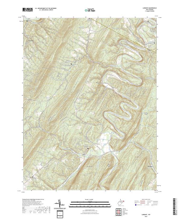
2023 Largent
Hampshire County, WV
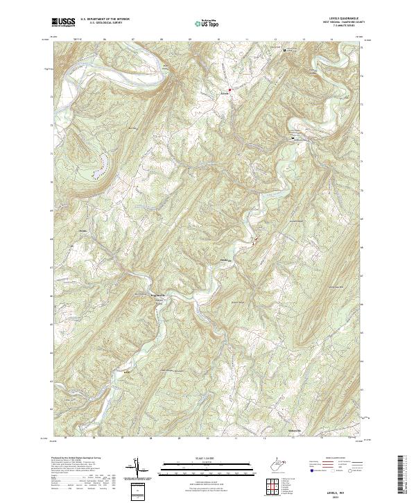
2023 Levels
Hampshire County, WV
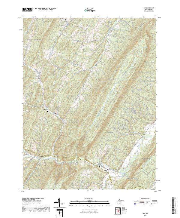
2023 Rio
Hampshire County, WV
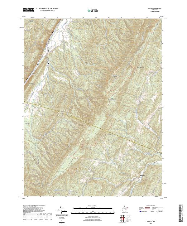
2023 Sector
Hampshire County, WV
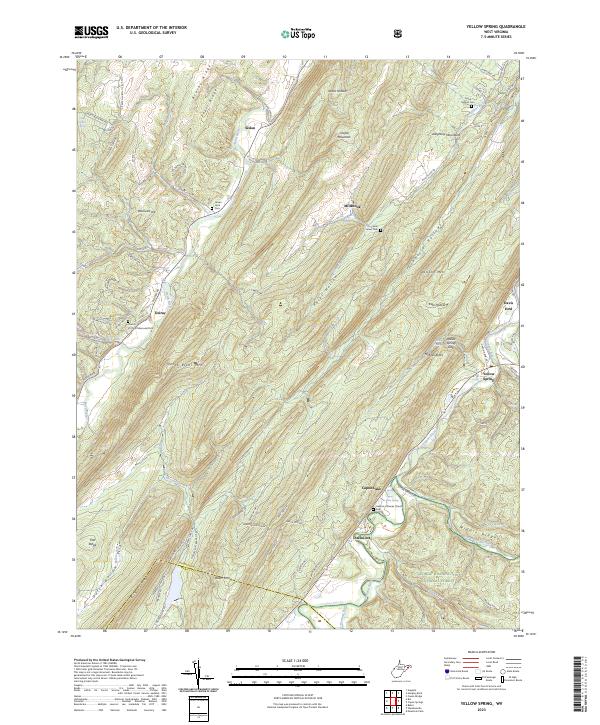
2023 Yellow Spring
Hampshire County, WV