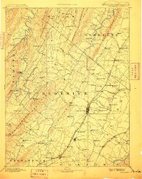
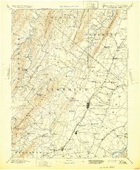
1894 Map of Winchester
USGS Topo · Published 1910About this map
Winchester serves as the central hub of this late 19th-century landscape, where the Baltimore and Ohio Railroad Valley Branch meets the local road network. The map reveals a densely settled corridor of small communities like Stephens City, Middletown, and Bunker Hill, each situated along the primary valley thoroughfares. East of the city, industrial and recreational sites such as Burnt Factory and Jordan Springs appear alongside Opequon Creek, illustrating the intersection of natural resources and early development.
Find a feature on this map
114 named features on this map. Tap any name to fly to it.
Don’t see what you’re looking for? This feature index may not catch every label — zoom into the map to look around manually.
Map Details
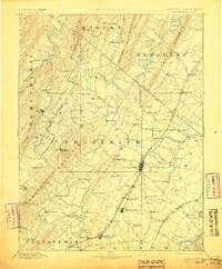
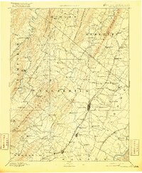
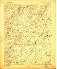
Editions of this 1894 Winchester Map
6 editions found
Other maps of this area

1884 · Harpers Ferry
USGS Topo · 1:125,000

1891 · Harpers Ferry
USGS Topo · 1:125,000

1891 · Romney
USGS Topo · 1:125,000

1892 · Woodstock
USGS Topo · 1:125,000

1893 · Luray
USGS Topo · 1:125,000

1893 · Harpers Ferry
USGS Topo · 1:125,000

1894 · Warrenton
USGS Topo · 1:125,000

1894 · Winchester
USGS Topo · 1:125,000

1898 · Paw Paw
USGS Topo · 1:62,500

1899 · Flintstone
USGS Topo · 1:62,500