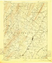
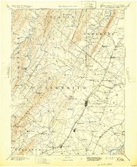
1894 Map of Winchester
USGS Topo · Published 1916About this map
Winchester serves as the focal point for this late 19th-century survey of the Shenandoah Valley and surrounding mountain ridges. The town is a critical junction for regional transportation, where the Baltimore and Ohio Railroad meets the Cumberland Valley Railroad. This infrastructure anchors a landscape dotted with small mill towns and crossroads like Parkins Mill and Stephens City, reflecting a period of established agricultural and industrial development along Opequon Creek.
Find a feature on this map
122 named features on this map. Tap any name to fly to it.
Don’t see what you’re looking for? This feature index may not catch every label — zoom into the map to look around manually.
Map Details
Editions of this 1894 Winchester Map
6 editions found
Other maps of this area

1884 · Harpers Ferry
USGS Topo · 1:125,000

1891 · Harpers Ferry
USGS Topo · 1:125,000

1891 · Romney
USGS Topo · 1:125,000

1892 · Woodstock
USGS Topo · 1:125,000

1893 · Luray
USGS Topo · 1:125,000

1893 · Harpers Ferry
USGS Topo · 1:125,000

1894 · Warrenton
USGS Topo · 1:125,000

1894 · Winchester
USGS Topo · 1:125,000

1898 · Paw Paw
USGS Topo · 1:62,500

1899 · Flintstone
USGS Topo · 1:62,500