1966 Map of Winchester
USGS Topo · Published 1972About this map
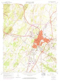
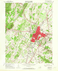
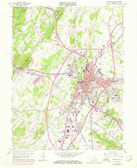
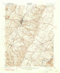
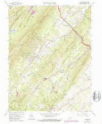
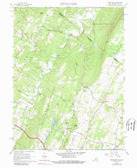
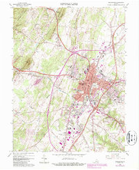
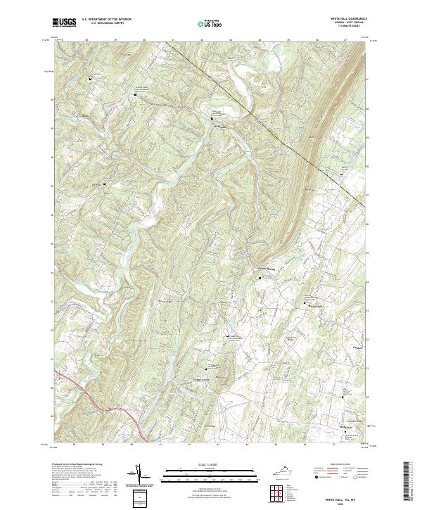
Winchester serves as the focal point of this Frederick County study, where the urban center meets the surrounding Shenandoah Valley ridges. The landscape is marked by historic sites such as Star Fort and the Mt Hebron Cemetery, alongside established institutions like Shenandoah College and Handley High Sch. Transportation networks including the Pennsylvania and Baltimore And Ohio railroads intersect the city, facilitating industrial activities evidenced by the Quarry and various Kilns near the town center.
Find a feature on this map
69 named features on this map. Tap any name to fly to it.
Don’t see what you’re looking for? This feature index may not catch every label — zoom into the map to look around manually.
Map Details
Editions of this 1966 Winchester Map
4 editions found
Historical Maps of Winchester Through Time
10 maps found

1938 Winchester
Frederick County, VA
1942 Winchester
Frederick County, VA
1965 Hayfield
Frederick County, VA
1965 White Hall
Frederick County, VA
1966 Winchester
Frederick County, VA
1972 Winchester
Frederick County, VA
1997 Winchester
Frederick County, VA
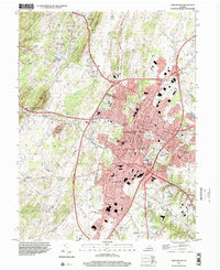
2022 Hayfield
Frederick County, VA
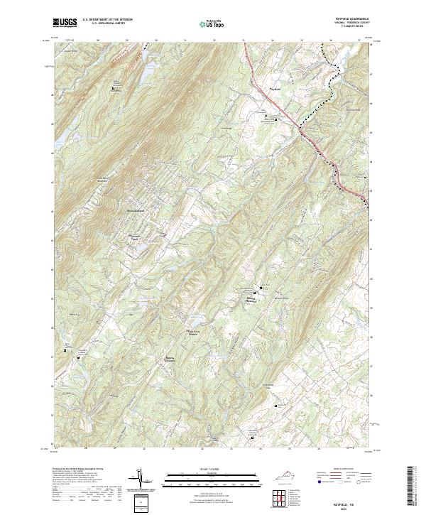
2022 White Hall
Frederick County, VA
2022 Winchester
Frederick County, VA