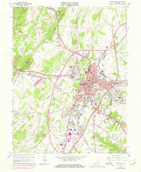
1966 Map of Winchester
USGS Topo · Published 1978About this map
Winchester serves as the focal point of this Frederick County survey, where the convergence of the Baltimore and Ohio, Penn Central, and Winchester and Western railroads illustrates a long-standing transportation hub. The town's historical depth is evident in its numerous religious and educational sites, including Sacred Heart Ch and Handley High Sch. Moving beyond the urban center, the landscape transitions into agricultural and ridge-and-valley terrain. Significant local heritage is preserved at Old Opequon Ch and the Mt Hebron Cemetery, while the northern reaches are defined by Apple Pie Ridge and Hunting Ridge. This late-1960s perspective also captures early suburban expansion at Frederick Heights and Sunnyside, alongside institutional landmarks like Shenandoah College and the VPI Experimental Sta.
Find a feature on this map
71 named features on this map. Tap any name to fly to it.
Don’t see what you’re looking for? This feature index may not catch every label — zoom into the map to look around manually.
Map Details
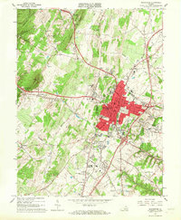
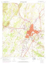
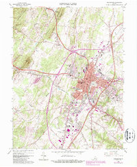
Editions of this 1966 Winchester Map
4 editions found
Other maps of this area

1894 · Winchester
USGS Topo · 1:125,000

1914 · Gerrardstown
USGS Topo · 1:48,000

1916 · Gerrardstown
USGS Topo · 1:62,500

1916 · Capon Bridge
USGS Topo · 1:62,500

1923 · Middletown
USGS Topo · 1:62,500

1923 · Capon Bridge
USGS Topo · 1:62,500

1937 · Capon Bridge
USGS Topo · 1:48,000

1937 · Gerrardstown
USGS Topo · 1:48,000

1937 · Middletown
USGS Topo · 1:48,000

1938 · Winchester
USGS Topo · 1:48,000