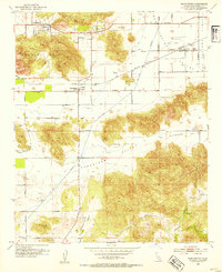
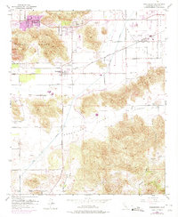
1953 Map of Winchester
USGS Topo · Published 1954About this map
Winchester sits at the junction of the Atchison Topeka and Santa Fe railroad and Winchester Rd, serving as a central hub for the surrounding agricultural valleys in the early 1950s. The landscape is defined by a series of prominent basins, including Domenigoni Valley, Diamond Valley, and French Valley, separated by the heights of Double Butte and the Lakeview Mountains.
Find a feature on this map
50 named features on this map. Tap any name to fly to it.
Don’t see what you’re looking for? This feature index may not catch every label — zoom into the map to look around manually.
Map Details
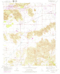
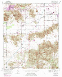
Editions of this 1953 Winchester Map
7 editions found
Other maps of this area

1901 · Southern California Sheet No. 1
USGS Topo · 1:250,000

1901 · San Jacinto
USGS Topo · 1:125,000

1901 · Elsinore
USGS Topo · 1:125,000

1904 · Southern California Sheet No. 1
USGS Topo · 1:250,000

1942 · Banning
USGS Topo · 1:62,500

1942 · Hemet
USGS Topo · 1:62,500

1942 · Murrieta
USGS Topo · 1:62,500

1942 · Perris
USGS Topo · 1:62,500

1943 · Perris
USGS Topo · 1:62,500

1943 · Hemet
USGS Topo · 1:62,500