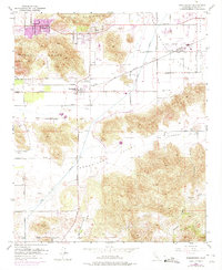
1953 Map of Winchester
USGS Topo · Published 1975About this map
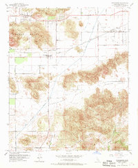
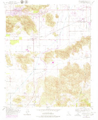
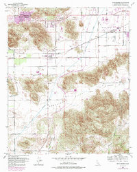
Winchester and Homeland anchor this mid-century survey of the Riverside County interior, showing a landscape defined by ranching, transit, and water infrastructure. The Atchison Topeka and Santa Fe railroad cuts through the center of the map, linking the settlements at the foot of Double Butte. Extensive water engineering is visible via the San Diego Aqueduct and the San Jacinto River, highlighting the region's historical efforts to manage resources across the Domenigoni Valley and Diamond Valley.
Find a feature on this map
30 named features on this map. Tap any name to fly to it.
Don’t see what you’re looking for? This feature index may not catch every label — zoom into the map to look around manually.
Map Details
Editions of this 1953 Winchester Map
7 editions found
Other maps of this area

1901 · Southern California Sheet No. 1
USGS Topo · 1:250,000

1901 · San Jacinto
USGS Topo · 1:125,000

1901 · Elsinore
USGS Topo · 1:125,000

1904 · Southern California Sheet No. 1
USGS Topo · 1:250,000

1942 · Banning
USGS Topo · 1:62,500

1942 · Hemet
USGS Topo · 1:62,500

1942 · Murrieta
USGS Topo · 1:62,500

1942 · Perris
USGS Topo · 1:62,500

1943 · Perris
USGS Topo · 1:62,500

1943 · Hemet
USGS Topo · 1:62,500