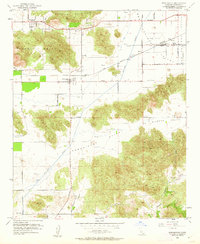
1953 Map of Winchester
USGS Topo · Published 1962About this map
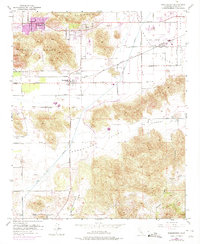
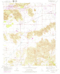
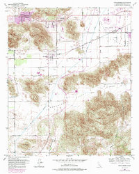
Winchester sits at the heart of this mid-century landscape, positioned where the Atchison Topeka and Santa Fe railroad crosses a network of valley roads. The map reveals an area defined by agricultural development and early water infrastructure, most notably the path of the San Diego Aqueduct as it cuts through the Domenigoni Valley. This era shows Egan and Homeland as established small settlements, while Ryan Field and its associated Fuel Tanks indicate contemporary aviation and industrial footprints. The terrain is marked by prominent granite outcrops and ridges, including Double Butte and the Lakeview Mountains, which separate the broad plains of the San Jacinto Valley from the more secluded Diamond Valley. Genealogists and local historians can trace specific homestead locations along Washington Ave and Case Rd, or locate the small Cem near the eastern boundary.
Find a feature on this map
47 named features on this map. Tap any name to fly to it.
Don’t see what you’re looking for? This feature index may not catch every label — zoom into the map to look around manually.
Map Details
Editions of this 1953 Winchester Map
7 editions found
Other maps of this area

1901 · Southern California Sheet No. 1
USGS Topo · 1:250,000

1901 · San Jacinto
USGS Topo · 1:125,000

1901 · Elsinore
USGS Topo · 1:125,000

1904 · Southern California Sheet No. 1
USGS Topo · 1:250,000

1942 · Banning
USGS Topo · 1:62,500

1942 · Hemet
USGS Topo · 1:62,500

1942 · Murrieta
USGS Topo · 1:62,500

1942 · Perris
USGS Topo · 1:62,500

1943 · Perris
USGS Topo · 1:62,500

1943 · Hemet
USGS Topo · 1:62,500