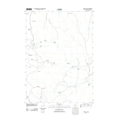
2012 Map of Wind Cave
USGS Topo · Published 2012About this map
Wind Cave National Park defines this landscape in the southern Black Hills, where the prairie of Bison Flats meets the broken terrain of the foothills. This 2012 survey illustrates the transition from the high point at Rankin Ridge down into the broad Red Valley. The map documents a network of canyons and gulches, including Limestone Canyon, Curley Canyon, and Gobbler Canyon, which drain toward the perennial course of Beaver Cr.
Find a feature on this map
39 named features on this map. Tap any name to fly to it.
Don’t see what you’re looking for? This feature index may not catch every label — zoom into the map to look around manually.
Map Details
Editions of this 2012 Wind Cave Map
This is the sole edition of this map. No revisions or reprints were ever made.
Other maps of this area

1894 · Hermosa
USGS Topo · 1:125,000

1896 · Oelrichs
USGS Topo · 1:125,000

1896 · Harney Peak
USGS Topo · 1:125,000

1900 · Oelrichs
USGS Topo · 1:125,000

1901 · Hermosa
USGS Topo · 1:125,000

1901 · Harney Peak
USGS Topo · 1:125,000

1902 · Edgemont
USGS Topo · 1:125,000

1950 · Hot Springs
USGS Topo · 1:24,000

1950 · Buffalo Gap
USGS Topo · 1:24,000

1951 · Minnekahta NE
USGS Topo · 1:24,000