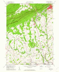
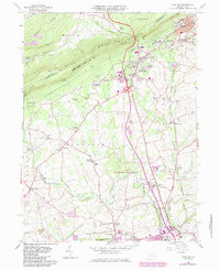
1960 Map of Wind Gap
USGS Topo · Published 1962About this map
Blue Mountain serves as a massive natural barrier in this 1960 survey of Northampton County, famously pierced by the namesake Wind Gap pass. This geological gateway is flanked by Chestnut Ridge to the north and the extensive State Game Lands No 168, which preserved the high ground even as industrial and residential expansion shaped the valley below. The Appalachian Trail follows the ridge line, overlooking a landscape defined by the slate industry and the Erie-Lackawanna Railroad.
Find a feature on this map
63 named features on this map. Tap any name to fly to it.
Don’t see what you’re looking for? This feature index may not catch every label — zoom into the map to look around manually.
Map Details
Editions of this 1960 Wind Gap Map
5 editions found
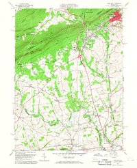
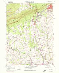
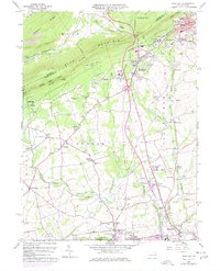
Other maps of this area

1890 · Easton
USGS Topo · 1:62,500

1891 · Easton
USGS Topo · 1:62,500

1891 · Delaware Water Gap
USGS Topo · 1:62,500

1893 · Delaware Water Gap
USGS Topo · 1:62,500

1894 · Allentown
USGS Topo · 1:62,500

1914 · Wind Gap
USGS Topo · 1:62,500

1916 · Wind Gap
USGS Topo · 1:62,500
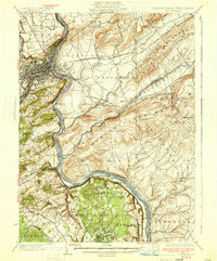
1932 · Easton
USGS Topo · 1:62,500
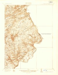
1936 · Delaware Water Gap
USGS Topo · 1:48,000
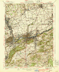
1939 · Allentown
USGS Topo · 1:62,500
Featured Places
- Pen Argyl, PA
- Wind Gap, PA
- Bushkill Township, PA
- Rismiller, Bushkill Township
- Wardsburg, Plainfield Township