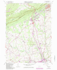
1960 Map of Wind Gap
USGS Topo · Published 1984About this map
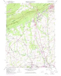
Blue Mountain dominates the northern horizon of this map, its ridge-line traversed by the Appalachian Trail and protected within State Game Lands No 168. At the base of this natural barrier, the gap provides a corridor for industry and transit, centered on Wind Gap and the neighboring borough of Pen Argyl. The landscape south of the ridge transitions into a high-density industrial and residential patchwork, where numerous quarries reflect the region's deep ties to slate and mineral extraction.
Find a feature on this map
63 named features on this map. Tap any name to fly to it.
Don’t see what you’re looking for? This feature index may not catch every label — zoom into the map to look around manually.
Map Details
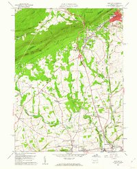
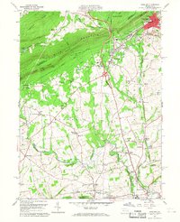
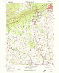
Editions of this 1960 Wind Gap Map
5 editions found
Other maps of this area

1890 · Easton
USGS Topo · 1:62,500

1891 · Easton
USGS Topo · 1:62,500

1891 · Delaware Water Gap
USGS Topo · 1:62,500

1893 · Delaware Water Gap
USGS Topo · 1:62,500

1894 · Allentown
USGS Topo · 1:62,500

1914 · Wind Gap
USGS Topo · 1:62,500

1916 · Wind Gap
USGS Topo · 1:62,500

1932 · Easton
USGS Topo · 1:62,500

1936 · Delaware Water Gap
USGS Topo · 1:48,000

1939 · Allentown
USGS Topo · 1:62,500
Featured Places
- Pen Argyl, PA
- Wind Gap, PA
- Bushkill Township, PA
- Rismiller, Bushkill Township
- Wardsburg, Plainfield Township