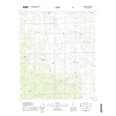
2020 Map of Wind Mountain
USGS Topo · Published 2020About this map
Gila National Forest spans much of this Grant County landscape, dominated by the high peaks of the Big Burro Mountains and the Little Burro Mountains. The topographic detail reveals a network of canyons and gulches, including Box Canyon, Silver Dale Canyon, and California Gulch, which define the drainage patterns leading into Mangas Creek. This arid environment is marked by essential water sources for ranching and wildlife, such as Turquoise Tank, Silver Dale Spring, and Camp Cr Tank.
Find a feature on this map
48 named features on this map. Tap any name to fly to it.
Don’t see what you’re looking for? This feature index may not catch every label — zoom into the map to look around manually.
Map Details
Editions of this 2020 Wind Mountain Map
This is the sole edition of this map. No revisions or reprints were ever made.
Other maps of this area

1909 · Silver City
USGS Topo · 1:125,000

1949 · Circle Mesa
USGS Topo · 1:24,000

1950 · Tyrone
USGS Topo · 1:24,000

1950 · White Signal
USGS Topo · 1:24,000

1950 · Wind Mountain
USGS Topo · 1:24,000

1950 · Burro Peak
USGS Topo · 1:24,000

1950 · Silver City
USGS Topo · 1:24,000

1951 · Circle Mesa
USGS Topo · 1:24,000

1951 · White Signal
USGS Topo · 1:24,000
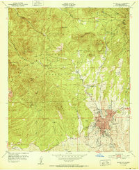
1951 · Silver City
USGS Topo · 1:24,000