Loading...
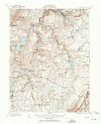
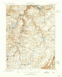
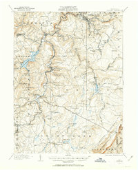
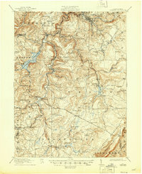
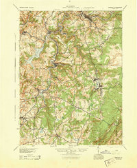
Loading map...1914 Map of Windber
USGS Topo · Published 1963About this map
Quemahoning Reservoir dominates the western landscape of this Somerset County region, while the Allegheny Mountains rise sharply along the eastern edge. Surveyed just before the mid-1910s, the map reveals a landscape defined by the extraction and processing of natural resources. Industrial sites like the Old Shade Furnace, Sinne Sawmill, and a Shot Factory near Grand View indicate a diversified early 20th-century economy.
Find a feature on this map
111 named features on this map. Tap any name to fly to it.
Don’t see what you’re looking for? This feature index may not catch every label — zoom into the map to look around manually.
Map Details
Date Portrayed1914
Date Published1963
PublisherU.S. Geological Survey
Map TypeTopographic
Scale1:62,500
Physical Dimensions17.1 x 21 inches
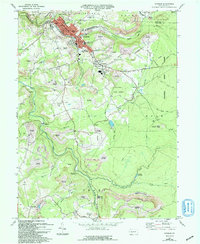
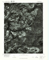
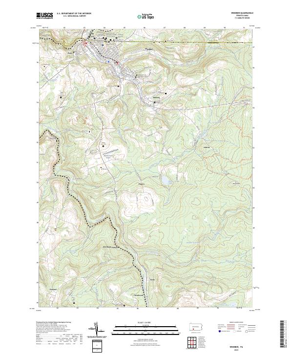
Editions of this 1914 Windber Map
Historical Maps of Windber Through Time
7 maps found

Featured Locations
Source Details
SourceU.S. Geological Survey
CopyrightPublic Domain