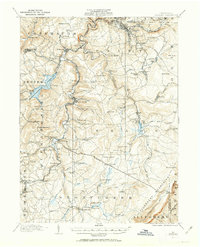
1914 Map of Windber
USGS Topo · Published 1963About this map
The Allegheny Mountains define the eastern rise of this Somerset County landscape, where the coal and timber industries of the early twentieth century shaped local development. Industrial history is evident in sites like the Old Shade Furnace and the Sinne Sawmill, while the complex drainage of Shade Creek and Stony Creek supported a network of smaller communities such as Scalp Level, Hooversville, and Stoystown. The Quemahoning Reservoir dominates the western portion, reflecting significant water management efforts of the era.
Find a feature on this map
117 named features on this map. Tap any name to fly to it.
Don’t see what you’re looking for? This feature index may not catch every label — zoom into the map to look around manually.
Map Details
Editions of this 1914 Windber Map
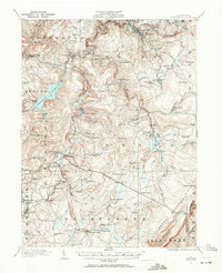
Other maps of this area

1902 · Ebensburg
USGS Topo · 1:62,500

1904 · Ebensburg
USGS Topo · 1:62,500

1904 · Johnstown
USGS Topo · 1:62,500

1907 · Johnstown
USGS Topo · 1:62,500

1908 · Bedford
USGS Topo · 1:62,500

1910 · Bedford
USGS Topo · 1:62,500

1913 · Somerset
USGS Topo · 1:62,500

1914 · Windber
USGS Topo · 1:62,500

1915 · Somerset
USGS Topo · 1:62,500

1916 · Windber
USGS Topo · 1:62,500