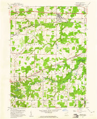
1959 Map of Windham
USGS Topo · Published 1961About this map
The Ravenna Arsenal occupies a significant portion of this landscape, reflecting the military's lasting footprint on Portage County. To its north, the town of Windham is positioned between the Erie Lackawanna Railroad and the Ohio Turnpike, serving as a vital transportation corridor in the late 1950s. The southern half of the sheet is defined by the winding course of the Mahoning River and its West Branch, where small settlements like Wayland and Paris are situated along the Baltimore and Ohio Railroad. Local history is anchored by several burial sites including St Josephs Cem, Hawley Cem, and Welsh Cem. Numerous quarries and an Oil Well indicate the area's industrial and extractive character during this era of mid-century development.
Find a feature on this map
56 named features on this map. Tap any name to fly to it.
Don’t see what you’re looking for? This feature index may not catch every label — zoom into the map to look around manually.
Map Details
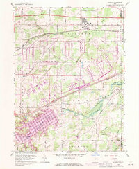
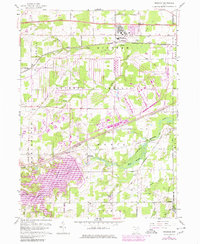
Editions of this 1959 Windham Map
3 editions found
Other maps of this area

1905 · Bristolville
USGS Topo · 1:62,500

1905 · Garrettsville
USGS Topo · 1:62,500

1906 · Ravenna
USGS Topo · 1:62,500

1907 · Bristolville
USGS Topo · 1:62,500

1907 · Garrettsville
USGS Topo · 1:62,500

1908 · Warren
USGS Topo · 1:62,500

1908 · Ravenna
USGS Topo · 1:62,500

1950 · Cleveland
USGS Topo · 1:250,000

1952 · Lake Milton
USGS Topo · 1:24,000

1952 · Southington
USGS Topo · 1:24,000