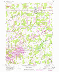
1959 Map of Windham
USGS Topo · Published 1980About this map
The Ravenna Arsenal dominates the central geography of this portion of Portage County, illustrating the massive scale of military industrial land use during the mid-20th century. Bordering the Windham Military Reservation, the landscape is defined by extensive munitions storage bunkers and specialized transport networks. To the south, the Kirwan Reservoir fills the valley of the Michael Branch, while the Mahoning River winds through the village of Wayland. Transportation infrastructure is a primary feature, with the Baltimore and Ohio Railroad and Conrail lines intersecting the region near rural outposts like Pritchard. Local history is preserved in several small burial grounds, including Welsh Cem and Hawley Cem, which sit amidst a network of country roads such as Mc Clintocksburg Road and Old Newton Falls Road.
Find a feature on this map
40 named features on this map. Tap any name to fly to it.
Don’t see what you’re looking for? This feature index may not catch every label — zoom into the map to look around manually.
Map Details
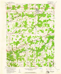
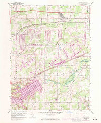
Editions of this 1959 Windham Map
3 editions found
Other maps of this area

1905 · Bristolville
USGS Topo · 1:62,500

1905 · Garrettsville
USGS Topo · 1:62,500

1906 · Ravenna
USGS Topo · 1:62,500

1907 · Bristolville
USGS Topo · 1:62,500

1907 · Garrettsville
USGS Topo · 1:62,500

1908 · Warren
USGS Topo · 1:62,500

1908 · Ravenna
USGS Topo · 1:62,500

1950 · Cleveland
USGS Topo · 1:250,000

1952 · Lake Milton
USGS Topo · 1:24,000

1952 · Southington
USGS Topo · 1:24,000