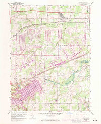
1959 Map of Windham
USGS Topo · Published 1971About this map
The Ravenna Arsenal dominates the central portion of this landscape, its structured grid of roads and facilities defining the mid-century military footprint in Portage County. To the north, the village of Windham serves as a primary population center, situated just south of the Ohio Toll Road Turnpike and the Erie Lackawanna Railroad. This era shows the convergence of traditional rail-based industry and the burgeoning interstate highway system.
Find a feature on this map
57 named features on this map. Tap any name to fly to it.
Don’t see what you’re looking for? This feature index may not catch every label — zoom into the map to look around manually.
Map Details
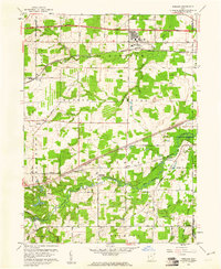
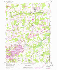
Editions of this 1959 Windham Map
3 editions found
Other maps of this area

1905 · Bristolville
USGS Topo · 1:62,500

1905 · Garrettsville
USGS Topo · 1:62,500

1906 · Ravenna
USGS Topo · 1:62,500

1907 · Bristolville
USGS Topo · 1:62,500

1907 · Garrettsville
USGS Topo · 1:62,500

1908 · Warren
USGS Topo · 1:62,500

1908 · Ravenna
USGS Topo · 1:62,500

1950 · Cleveland
USGS Topo · 1:250,000

1952 · Lake Milton
USGS Topo · 1:24,000

1952 · Southington
USGS Topo · 1:24,000