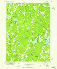
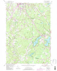
1953 Map of Windham
USGS Topo · Published 1956About this map
Cobbetts Pond and Canobie Lake define the eastern landscape of this Rockingham County study, providing a focal point for local development during the mid-1950s. The Boston and Maine Railroad cuts through the terrain, supporting the community at Windham Depot. This area shows a transition from rural crossroads to more established settlements, evidenced by the cluster of civic institutions such as the Searles Sch and St Matthew Ch. Genealogists may find value in the specific locations of the Cemetery On the Hill and Cemetery On the Plain, while the presence of the Holy Cross Sem reflects the region's religious history. Further north, small hamlets like Peppermint Corner and West Derry sit near Wheeler Pond, connected by a network of local roads including Mammoth Road and South Range Road.
Find a feature on this map
63 named features on this map. Tap any name to fly to it.
Don’t see what you’re looking for? This feature index may not catch every label — zoom into the map to look around manually.
Map Details
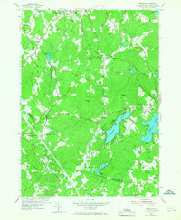
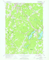
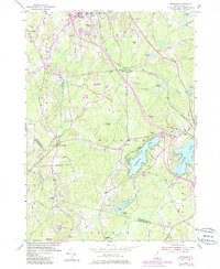
Editions of this 1953 Windham Map
5 editions found
Other maps of this area

1886 · Lawrence
USGS Topo · 1:62,500

1886 · Lowell
USGS Topo · 1:62,500

1888 · Haverhill
USGS Topo · 1:62,500

1888 · Lawrence
USGS Topo · 1:62,500

1890 · Haverhill
USGS Topo · 1:62,500

1893 · Lowell
USGS Topo · 1:62,500

1893 · Lawrence
USGS Topo · 1:62,500

1893 · Haverhill
USGS Topo · 1:62,500

1905 · Manchester
USGS Topo · 1:62,500

1918 · Lowell
USGS Topo · 1:62,500