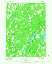
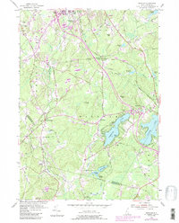
1953 Map of Windham
USGS Topo · Published 1967About this map
The rolling hills of southern New Hampshire are prominently marked by the intersection of rail history and community development in this 1950s study. The Boston and Maine Railroad cuts through the landscape, serving the local economy at Windham Depot. The map reveals a high density of ancestral sites, notably the Cemetery On the Plains and Cemetery On the Hill, along with smaller burial grounds like Glenwood Cem. The presence of the Searles Sch and St Matthew Ch reflects the social infrastructure of the time, while the waters of Cobbetts Pond and Canobie Lake define the eastern leisure and residential landscape. Numerous family-named landmarks such as Butterfield Rock and Jennys Hill provide specific points of interest for local historians tracking the physical geography of Windham and Londonderry.
Find a feature on this map
67 named features on this map. Tap any name to fly to it.
Don’t see what you’re looking for? This feature index may not catch every label — zoom into the map to look around manually.
Map Details
Editions of this 1953 Windham Map
5 editions found
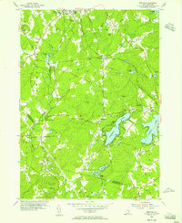
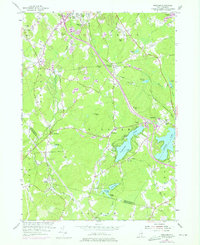
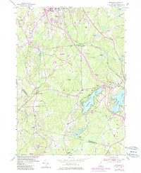
Other maps of this area

1886 · Lawrence
USGS Topo · 1:62,500

1886 · Lowell
USGS Topo · 1:62,500

1888 · Haverhill
USGS Topo · 1:62,500

1888 · Lawrence
USGS Topo · 1:62,500

1890 · Haverhill
USGS Topo · 1:62,500

1893 · Lowell
USGS Topo · 1:62,500

1893 · Lawrence
USGS Topo · 1:62,500

1893 · Haverhill
USGS Topo · 1:62,500

1905 · Manchester
USGS Topo · 1:62,500

1918 · Lowell
USGS Topo · 1:62,500