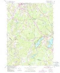
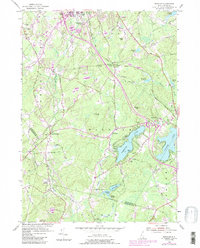
1953 Map of Windham
USGS Topo · Published 1985About this map
The Robert Frost Farm serves as a cultural anchor in this corner of Rockingham County, situated just north of the expanding residential and recreational corridors of the 1950s. The landscape is defined by the significant water bodies of Cobbetts Pond and Canobie Lake, which by this era had become established centers for local activity. The transportation network is anchored by the Boston and Maine Railroad and historical thoroughfares like Mammoth Road, connecting small clusters such as Windham Depot and Peppermint Corner.
Find a feature on this map
64 named features on this map. Tap any name to fly to it.
Don’t see what you’re looking for? This feature index may not catch every label — zoom into the map to look around manually.
Map Details
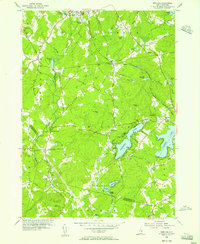
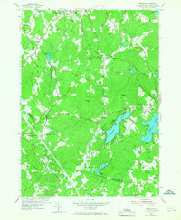
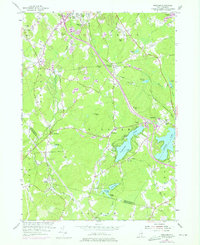
Editions of this 1953 Windham Map
5 editions found
Other maps of this area

1886 · Lawrence
USGS Topo · 1:62,500

1886 · Lowell
USGS Topo · 1:62,500

1888 · Haverhill
USGS Topo · 1:62,500

1888 · Lawrence
USGS Topo · 1:62,500

1890 · Haverhill
USGS Topo · 1:62,500

1893 · Lowell
USGS Topo · 1:62,500

1893 · Lawrence
USGS Topo · 1:62,500

1893 · Haverhill
USGS Topo · 1:62,500

1905 · Manchester
USGS Topo · 1:62,500

1918 · Lowell
USGS Topo · 1:62,500