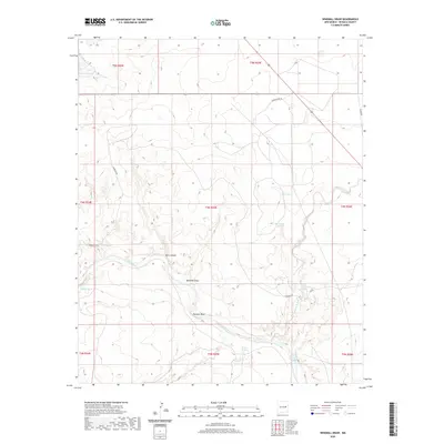
2020 Map of Windmill Draw
USGS Topo · Published 2020About this map
The Pecos River cuts a deep, winding path through this corner of De Baca County, carving out significant topographical landmarks like Pacheco Bluff and the shadowed recesses of Dark Canyon. This arid landscape is defined by its drainage systems and vital water sources, where the eponymous Windmill Draw meets the river valley. Numerous named water points such as James Spring, Arenosa Spring, and the Old Water Hole indicate the essential infrastructure for ranching in this high-plains environment. Transportation is limited to a sparse network of rural routes, including Carretas Rd and Cornerstone Rd, which navigate the mesas and arroyos. The map provides a detailed view of the regional hydrology, including the lengthy course of the Arroyo de Anil as it snakes toward the primary river channel.
Find a feature on this map
22 named features on this map. Tap any name to fly to it.
Don’t see what you’re looking for? This feature index may not catch every label — zoom into the map to look around manually.
Map Details
Editions of this 2020 Windmill Draw Map
This is the sole edition of this map. No revisions or reprints were ever made.
Other maps of this area

1954 · Fort Sumner
USGS Topo · 1:250,000

1958 · Fort Sumner
USGS Topo · 1:250,000

1965 · Fort Sumner West
USGS Topo · 1:24,000

1965 · Windmill Draw
USGS Topo · 1:24,000

1966 · Gibbons Ranch
USGS Topo · 1:24,000

1966 · Ricardo
USGS Topo · 1:24,000

1966 · Alamogordo Dam
USGS Topo · 1:24,000

1966 · Colorado Canyon
USGS Topo · 1:24,000

1968 · Twin Mesa NW
USGS Topo · 1:24,000

1968 · Fort Sumner East
USGS Topo · 1:24,000