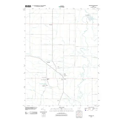
2010 Map of Windsor
USGS Topo · Published 2010About this map
Windsor Mills and the village of Windsor anchor this corner of Trumbull County, situated along the winding course of the Grand River. This early 21st-century landscape is defined by its deep agricultural and community roots, evidenced by several established burial grounds including Pioneer Cemetery, Windsor Mill Cemetery, and Loomis Cemetery. The area’s geography is shaped by numerous tributaries such as Indian Creek, Phelps Creek, and Hoskins Creek which feed into the primary river system. Local landmarks like the Warner Hollow Bridge and Camp Whitewood reflect the recreational and civic history of the region. Significant water management features are also visible, notably the Lake Cardinal Dam and Camp Whitewood Lake Dam, which create sizeable reservoirs amidst the rural road network connecting smaller settlements like Hartsgrove and Stoneville.
Find a feature on this map
54 named features on this map. Tap any name to fly to it.
Don’t see what you’re looking for? This feature index may not catch every label — zoom into the map to look around manually.
Map Details
Editions of this 2010 Windsor Map
This is the sole edition of this map. No revisions or reprints were ever made.
Other maps of this area

1904 · Chardon
USGS Topo · 1:62,500

1905 · Bristolville
USGS Topo · 1:62,500

1905 · Garrettsville
USGS Topo · 1:62,500

1905 · Jefferson
USGS Topo · 1:62,500

1906 · Chardon
USGS Topo · 1:62,500

1907 · Bristolville
USGS Topo · 1:62,500

1907 · Jefferson
USGS Topo · 1:62,500

1907 · Garrettsville
USGS Topo · 1:62,500

1950 · Cleveland
USGS Topo · 1:250,000

1952 · West Farmington
USGS Topo · 1:24,000
Featured Places
- Mesopotamia Township, OH
- Windsor, OH
- Hartsgrove, Hartsgrove Township
- Hartsgrove Township, OH
- Bloomfield Township, OH