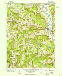
1952 Map of Windsor
USGS Topo · Published 1955About this map
The Susquehanna River defines the eastern boundary of this mid-century Broome County landscape, flowing south past the village of Windsor. This 1952 field survey captures a transition in communication and transport, marked by the West Windsor Television Tower standing in the hills while the Delaware and Hudson RR tracks parallel the riverbank. Small rural hubs like Occanum, Sanford, and Blatchley are connected by a network of local thoroughfares including Old State Road and Dickenson Street. The topography is dotted with family-named landmarks and essential community institutions, from the Central Sch and Riverside Cem in the river valley to the more remote upland settlements of Flowers and Edson. Water bodies such as Beaver Lake and Hawkins Pond highlight the varied terrain of the Windsor and Colesville townships.
Find a feature on this map
42 named features on this map. Tap any name to fly to it.
Don’t see what you’re looking for? This feature index may not catch every label — zoom into the map to look around manually.
Map Details
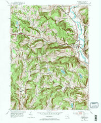
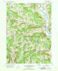
Editions of this 1952 Windsor Map
3 editions found
Other maps of this area

1904 · Binghamton
USGS Topo · 1:62,500

1905 · Nineveh
USGS Topo · 1:62,500

1932 · Susquehanna
USGS Topo · 1:62,500

1935 · Chenango Forks
USGS Topo · 1:24,000

1935 · Susquehanna
USGS Topo · 1:62,500

1937 · Binghamton East
USGS Topo · 1:24,000

1942 · Chenango Forks
USGS Topo · 1:31,680

1942 · Binghamton East
USGS Topo · 1:31,680

1943 · Montrose
USGS Topo · 1:62,500

1945 · Montrose
USGS Topo · 1:62,500