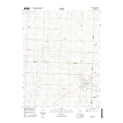
2014 Map of Windsor
USGS Topo · Published 2014About this map
Windsor serves as the primary hub in this Missouri landscape where Henry, Johnson, Pettis, and Benton counties converge. The town's grid is well-defined by streets such as Jefferson St and Pettis St, and it is anchored by landmarks like Windsor Farrington Park Lake and the Laurel Oak Cemetery. Outside the main settlement, the area maintains a rural character defined by small communities like Henrietta, Sutherland, and Bowen.
Find a feature on this map
66 named features on this map. Tap any name to fly to it.
Don’t see what you’re looking for? This feature index may not catch every label — zoom into the map to look around manually.
Map Details
Editions of this 2014 Windsor Map
This is the sole edition of this map. No revisions or reprints were ever made.
Other maps of this area

1885 · Warrensburg
USGS Topo · 1:125,000

1887 · Clinton
USGS Topo · 1:125,000

1887 · Sedalia
USGS Topo · 1:125,000

1887 · Warsaw
USGS Topo · 1:125,000

1887 · Warrensburg
USGS Topo · 1:125,000

1894 · Warsaw
USGS Topo · 1:125,000

1894 · Sedalia
USGS Topo · 1:125,000

1894 · Warrensburg
USGS Topo · 1:125,000

1894 · Clinton
USGS Topo · 1:125,000

1947 · Jefferson City
USGS Topo · 1:250,000