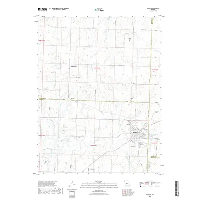
2017 Map of Windsor
USGS Topo · Published 2017About this map
Windsor anchors the southeastern corner of this landscape where the borders of Henry, Johnson, Pettis, and Benton Counties converge. This 2017 survey details a transition from the structured street grid of the town—marked by W Benton St and S Main St—to the sprawling agricultural tracts of the surrounding countryside. Genealogical data is particularly dense here, with several family-named burial sites such as Goodwin Cem, Askins Cem, and Cooper Cem scattered among the sections. The rural economy is traced through a network of county roads like SE 1100th Rd and Ne 1400 RD, while the topography is defined by the drainage of Muddy Cr and the Middle Fork Tebo Cr. Smaller communities like Sutherland and Bowen illustrate the historical settlement patterns along these prairie waterways and the Clear Fork Blackwater River.
Find a feature on this map
74 named features on this map. Tap any name to fly to it.
Don’t see what you’re looking for? This feature index may not catch every label — zoom into the map to look around manually.
Map Details
Editions of this 2017 Windsor Map
This is the sole edition of this map. No revisions or reprints were ever made.
Other maps of this area

1885 · Warrensburg
USGS Topo · 1:125,000

1887 · Clinton
USGS Topo · 1:125,000

1887 · Sedalia
USGS Topo · 1:125,000

1887 · Warsaw
USGS Topo · 1:125,000

1887 · Warrensburg
USGS Topo · 1:125,000

1894 · Warsaw
USGS Topo · 1:125,000

1894 · Sedalia
USGS Topo · 1:125,000

1894 · Warrensburg
USGS Topo · 1:125,000

1894 · Clinton
USGS Topo · 1:125,000

1947 · Jefferson City
USGS Topo · 1:250,000