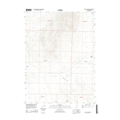
2015 Map of Wine Cup Ranch
USGS Topo · Published 2015About this map
Wine Cup Ranch sits at the heart of this high-desert landscape in Elko County, where the sprawling Thousand Springs Valley meets the rising slopes of the H D Range. The map documents a classic Great Basin ranching operation, centered on vital water sources like Wine Cup Ranch Spring and the meandering Thousand Springs Cr. To the west, the settlement of Wilkins marks a point of human activity along the CR-765 corridor. The terrain is defined by its drainage systems and northern Nevada topography, with Brush Cr cutting through the flats and the Windermere Hills anchoring the southern portion of the quadrangle. This 2015 survey provides a modern record of the roads and water rights, including Wine Cup Ranch Rd and Indian Spring, that sustain this isolated high-country territory.
Find a feature on this map
17 named features on this map. Tap any name to fly to it.
Don’t see what you’re looking for? This feature index may not catch every label — zoom into the map to look around manually.
Map Details
Editions of this 2015 Wine Cup Ranch Map
This is the sole edition of this map. No revisions or reprints were ever made.
Other maps of this area

1955 · Wells
USGS Topo · 1:250,000

1958 · Wells
USGS Topo · 1:250,000

1961 · Wells
USGS Topo · 1:250,000

1968 · Wilkins
USGS Topo · 1:24,000

1968 · Melandco
USGS Topo · 1:24,000

1968 · Knoll Mountain
USGS Topo · 1:24,000

1968 · Knoll Mountain SE
USGS Topo · 1:24,000

1968 · Wine Cup Ranch SE
USGS Topo · 1:24,000

1968 · Wine Cup Ranch
USGS Topo · 1:24,000
1968 · Wine Cup Ranch SW
USGS Topo · 1:24,000