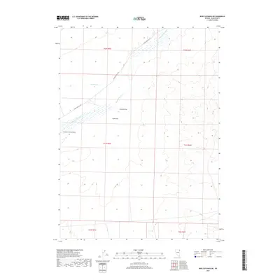
2018 Map of Wine Cup Ranch NE
USGS Topo · Published 2018About this map
Thousand Springs Valley defines this high-desert basin in Elko County, where the seasonal drainage of Thousand Springs Cr carves a path through the arid landscape. The map illustrates a network of ephemeral watercourses including Van Eaton Cr, Toano Draw, and Fivemile Draw, which characterize the alluvial drainage patterns of northeastern Nevada. Connectivity through this part of the ranching corridor is maintained by the Wilkins-Montello Rd, which cuts diagonally across the quadrangle. As a modern survey from the U.S. Geological Survey, the map reflects contemporary land use and topographic relief across multiple townships, highlighting the vast open spaces between the region's scattered ranching outposts.
Find a feature on this map
12 named features on this map. Tap any name to fly to it.
Don’t see what you’re looking for? This feature index may not catch every label — zoom into the map to look around manually.
Map Details
Editions of this 2018 Wine Cup Ranch NE Map
This is the sole edition of this map. No revisions or reprints were ever made.
Other maps of this area

1955 · Wells
USGS Topo · 1:250,000

1958 · Wells
USGS Topo · 1:250,000

1961 · Wells
USGS Topo · 1:250,000

1961 · Delano Mountains
USGS Topo · 1:62,500

1967 · Ninemile Mtn SW
USGS Topo · 1:24,000

1967 · Ninemile Mtn
USGS Topo · 1:24,000

1968 · Knoll Mountain
USGS Topo · 1:24,000

1968 · Knoll Mountain SE
USGS Topo · 1:24,000

1968 · Wine Cup Ranch SE
USGS Topo · 1:24,000

1968 · Wine Cup Ranch
USGS Topo · 1:24,000