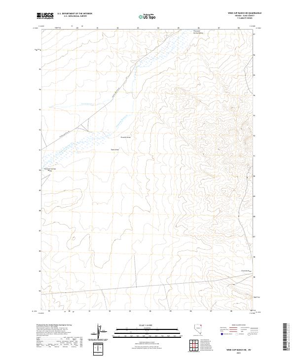
2021 Map of Wine Cup Ranch NE
USGS Topo · Published 2021About this map
Thousand Springs Valley defines the drainage patterns of this high-elevation landscape in Elko County. The map details the transition between open ranch land and the seasonal flow of Thousand Springs Cr and Van Eaton Cr. The terrain is characterized by broad alluvial features like Toano Draw and Fivemile Draw, which shape the local topography. Human presence is sparse, centered on the primary transit route of the Wilkins-Montello Rd, which cuts through the northwestern portion of the quadrangle. This 2021 survey reflects the modern management of this high-desert environment, where large-scale ranching boundaries like t42n r65e and t41n r66e intersect with natural watercourses and the open basins typical of the region's hydrography.
Find a feature on this map
13 named features on this map. Tap any name to fly to it.
Don’t see what you’re looking for? This feature index may not catch every label — zoom into the map to look around manually.
Map Details
Editions of this 2021 Wine Cup Ranch NE Map
This is the sole edition of this map. No revisions or reprints were ever made.
Other maps of this area

1955 · Wells
USGS Topo · 1:250,000

1958 · Wells
USGS Topo · 1:250,000

1961 · Wells
USGS Topo · 1:250,000

1961 · Delano Mountains
USGS Topo · 1:62,500

1967 · Ninemile Mtn SW
USGS Topo · 1:24,000

1967 · Ninemile Mtn
USGS Topo · 1:24,000

1968 · Knoll Mountain
USGS Topo · 1:24,000

1968 · Knoll Mountain SE
USGS Topo · 1:24,000

1968 · Wine Cup Ranch SE
USGS Topo · 1:24,000

1968 · Wine Cup Ranch
USGS Topo · 1:24,000