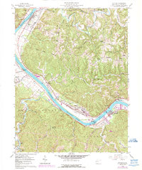
1958 Map of Winfield
USGS Topo · Published 1989About this map
The Kanawha River dictates the settlement patterns of this West Virginia landscape, with the town of Winfield serving as a focal point along its southern banks. Significant infrastructure of the late fifties is visible, including the Winfield Lock Dam No 1 Gaging Sta and a nearby Landing Strip near Eleanor. This area, encompassing parts of Buffalo, Union, and Scott districts, shows a dense network of rural education and worship, with local landmarks like Shiloh Ch, Dunlap Chapel, and several neighborhood schools such as Robinson Sch and White Star Sch. The topography transitions from the wide Teays Valley to the prominent Cross Creek Ridge, where small communities like Fraziers Bottom and Pliny are linked by winding routes like Stave Branch Rd.
Find a feature on this map
56 named features on this map. Tap any name to fly to it.
Don’t see what you’re looking for? This feature index may not catch every label — zoom into the map to look around manually.
Map Details
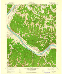
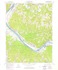
Editions of this 1958 Winfield Map
3 editions found
Other maps of this area

1892 · Huntington
USGS Topo · 1:125,000

1898 · Huntington
USGS Topo · 1:125,000

1899 · Charleston
USGS Topo · 1:125,000

1902 · Milton
USGS Topo · 1:62,500

1906 · Glenwood
USGS Topo · 1:62,500

1906 · Winfield
USGS Topo · 1:62,500

1908 · Glenwood
USGS Topo · 1:62,500

1908 · Winfield
USGS Topo · 1:62,500

1909 · Saint Albans
USGS Topo · 1:62,500

1931 · Saint Albans
USGS Topo · 1:62,500